15/12/2020-21/12/2020
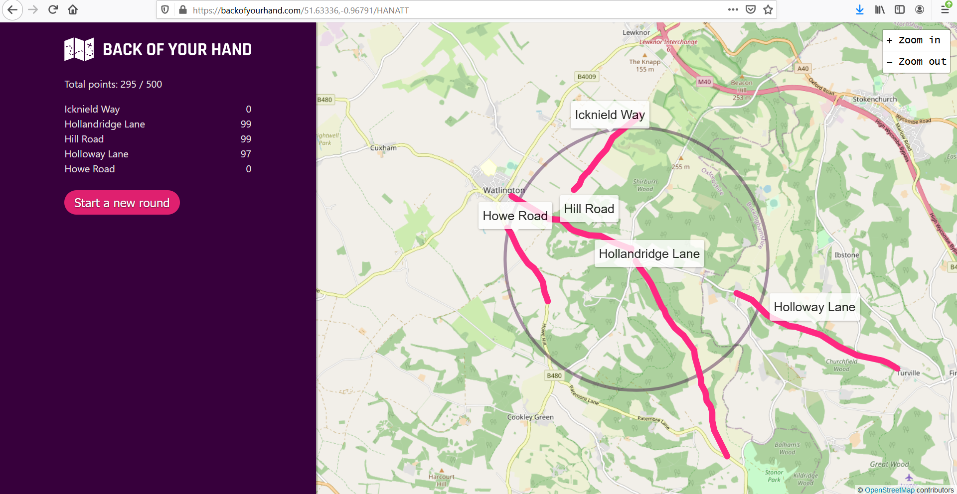
Test your local knowledge, game by 1 | © Adam Lynch | map data © OpenStreetMap contributors | (note the festive nature of the placename)
Mapping
- Michel wonders
 > why there are alpine huts mapped in lowland France. Françoise was more amused > by the discovery of three glaciers in Marseille (
natural=glacier). Street-level imagery is available > if you want a closer look at these artisanal glaciers! - Voting is open till 4 January for the
barrier=guard_stoneproposal. Guard stones are architectural features generally positioned to protect a specific object, such as a corner of a building or the side of a gate. - Pascal Neis tweeted that his OSMstats tool now features counts of organised editors by country.
- Wille Marcel outlined improvements recently made to OSMCha. New features include filtering changesets based on metadata, visualisation of changesets with relations, and integration with the MapRoulette micro-tasking service.
 >
> 
Community
- The Wikimedia Deutschland Technical Wishes team > will spend two years working on the topic of ‘Better support for geoinformation‘ > . Collecting, structuring, developing and discussing problems, wishes and ideas will > take place on the wiki page. Wikimedia Deutschland is also inviting contributions from the OSM community.
 >
> Imports
- User Polarbear answers > the question ‘What is an import?’ in a very understandable way.
OpenStreetMap Foundation
- Jean-Marc Liotier, newly elected to the OSMF Board, started a conversation about formalising the running of the OSMF operating reserves. Currently, this is around three years of historical operating expenditure. The ensuing discussion touches on a wide range of points, including how to estimate the size as expenditure increases; moral, rather than contractual, obligations to employees and others whose livelihoods depend on OSMF expenditure; and whether processes need to be set out in detail or formally at all.
Humanitarian OSM
- Ed Freyfogle interviewed HOT Executive Director Tyler Radford in episode 49 of the Geomob podcast.
- HOT announced that Nama Budhathoki, Founder and Executive Director of Kathmandu Living Labs, is the incoming Regional Hub Director for Asia.
- Bo Percival introduced the four new members of the HOT Tech Team.
- From September to November 2020, HOT Indonesia organised a mapping design competition called LOKAVISTA for university students across the nation. The mission was simple: to increase public awareness that OpenStreetMap data can be utilised for many purposes and different aspects of life.
- RCD49 from MAnnheimer MAPAthons e.V (MAMAPA) reported that all 178 Stolpersteine memorials currently in Mannheim, Germany have been successfully imported into OSM. Stolpersteine commemorates victims of repression and racism during the Nazi era. The data and in-depth research regarding the history of those to whom the Stolpersteine memorials are dedicated has been done by the Mannheim City Archive (Marchivum) > .
Maps
- [1] A bit of fun for the holiday break, ‘Backofyourhand‘ is a game to test your local knowledge by asking you to identify five streets in an area of your choice. The game was developed by Adam Lynch as a Christmas present for his dad.
- Manfred has quickly put up a map depicting the increasing number of vaccination centres in Germany and surrounding areas.
- After a friendly hint via email, the Institut für Zweiradsicherheit (Institute for Motorbike Safety) managed in less than 2 hours not only to answer, but to also correct the attribution on their Streckenheld-Karte (Route Hero Map). For this we give them a thumbs up!
- infraVelo is a state-owned company that takes care of cross-district measures for improved cycling infrastructure in Berlin (Germany), all of which are visualised on a map and supplemented by detailed information and photos.
- Radio-Canada/CBC published a story-map to help visualise the distribution and intensity (3D bars show cases per 100,000 people) of COVID-19 cases across Canada during the two pandemic waves of 2020.
Open Data
- The deputy Director of IGN (the French national mapping agency) announced the wide availability of open data from 1 January 2021. A thread on the French mailing list discusses >
what this may mean for OSM.
Software
- OpenMultiMaps is an Android application that allows you to display maps from OpenStreetMap and to quickly switch from one map to another. Maps are grouped into categories:
- Trips
- Life-skills
- Hobbies
- Regional maps
- Contributions
- Geovelo is > a (navigation) app that lets cyclists find the shortest or safest route depending on their needs.
- Maps.Me version 2.0 elicited some hostile feedback on twitter. The related discussion on the OSM subreddit is more informative. There seems to be a general loss of both features and functionality, in the version for Apple devices only, at present.
- Simon Poole provided an update of the changes made to Vespucci in the latest version, 15.1.
- Thomas Skowron announced in his OSM diary that, thanks to the microgrant from OSMF, OSMCal (OSM Calendar) is production ready. There is an extension already installed on the wiki, and a number of local chapter OSM sites and weeklyOSM are already using it.
Programming
- Alen Smajic has created the ‘3D Public Transport Simulation’, a Unity-based simulation that uses OpenStreetMap data, in order to support the simulation of worldwide locations.
- Jochen Topf has created two prototype implementations of a replacement for osm2pgsql’s ‘middle’ – the part of the code that remembers the details of objects that will be required again later in the import or update.
Did you know …
- … clubs-de-foot-pros-europeens? It’s a uMap instance showing a map of all the professional football (soccer) clubs across Europe.
- … by using the shortcuts of the DuckDuckGo search engine you can perform searches directly in OSM, Taginfo, or the Wiki?
- … about SMASH? The open source iOS and Android app that helps you collect notes from the field while surveying.
Other “geo” things
- Amazon Web Services has added location-based features to their web-based and mobile applications. The Amazon Location Service allows you to add maps, points of interest, geocoding, routing, geofences, and tracking to applications. Data for the service comes from Esri and HERE.
- Laurie Clarke discusses some of the issues being faced by tech companies as they try to improve the diversity of their workplaces, in an article in the New Statesman.
- Paul Ramsey is finding it hard to believe that Esri is inflicting yet another format on the world. Others were less surprised, saying it’s obvious that if you want to lock people into your software, it’s a good idea to make data as difficult as possible to access without your tools. The new ‘Mobile geodatabase‘ is a collection of God-knows-what in a SQLite file.
- Still looking for a very last minute gift for a geography and map fan in your life? Laura Bliss has a number of ideas for you.
- Shane Hickey tells the tale of Simon Borghs’s three year battle to get a postcode error fixed on Google Maps; a battle won only after the Observer approached Google to ask why they were unable to fix it. The story highlights the perils of the increasing reliance on private companies and the data they hold.
- British place names are notoriously hard to pronounce. The Map Men allege that rather than being traps deliberately set for unsuspecting tourists, British place names reflect the history of the Isles.
Upcoming Events
| Where | What | Online | When | Country |
|---|---|---|---|---|
| Missing Maps London Mapathon | 2021-01-05 | |||
| Landau an der Isar | Virtuelles Niederbayern-Treffen | ✓ | 2021-01-05 |  |
| San Jose | Virtual Civic Hack & Map Night | 2021-01-08 |  | |
| Bochum | Bochum OSM-Stammtisch (online) | 2021-01-07 | | |
| Warszawa | Virtual community meeting. | 2021-01-08 |  | |
| Chippewa Township | Michigan Online Meetup | ✓ | 2021-01-14 | |
Note:
If you like to see your event here, please put it into the OSM calendar. Only data which is there, will appear in weeklyOSM.
This weeklyOSM was produced by Nakaner, Nordpfeil, PierZen, Polyglot, rogehm, SK53, TheSwavu, alesarrett, derFred.