Mapbox joined last weekend’s Rio mapathon to help map the city where this year’s Olympic Games will be held.
In the OSM wiki, the voting for the “extended Kneipp water cure” tagging proposal has started.
There’s a large discussion on the tagging mailing list about the different restrictions for learner drivers that exist in different countries (another new wiki proposal).
Mapbox has developed a JOSM plugin to allow the tagging of turn lanes. It implements the current turn:lanes scheme which was also used during the German Weekly task.
Martin Koppenhoefer wonders whether the amenity=nursing_home tagging is really deprecated (as someone has marked the wiki page) or if it still sometimes makes sense to use it.
Mapbox Bengaluru conducted a satellite workshop which involved imagery processing using QGIS. The tutorials related to the workshop can be found here.
Community
JB has created a board game based on OSM, using French cathedrals (picture). He briefly describes the process and tools (QGIS) on the French mailing list.(automatic Translation)
Boris Gruschko has produced a video to visualize the creation and aging of nodes in OpenStreetMap. (via talk)
Events
On the 13th of July there will be a GraphHopper meetup in Berlin.
The schedule of SotM 2016 Japan (August, 06) has been published.(automatic translation).
Humanitarian OSM
On the Humanitarian OpenStreetMap Team’s blog there is a report about a mapping workshop which was held at the end of April in Uganda.
Maps
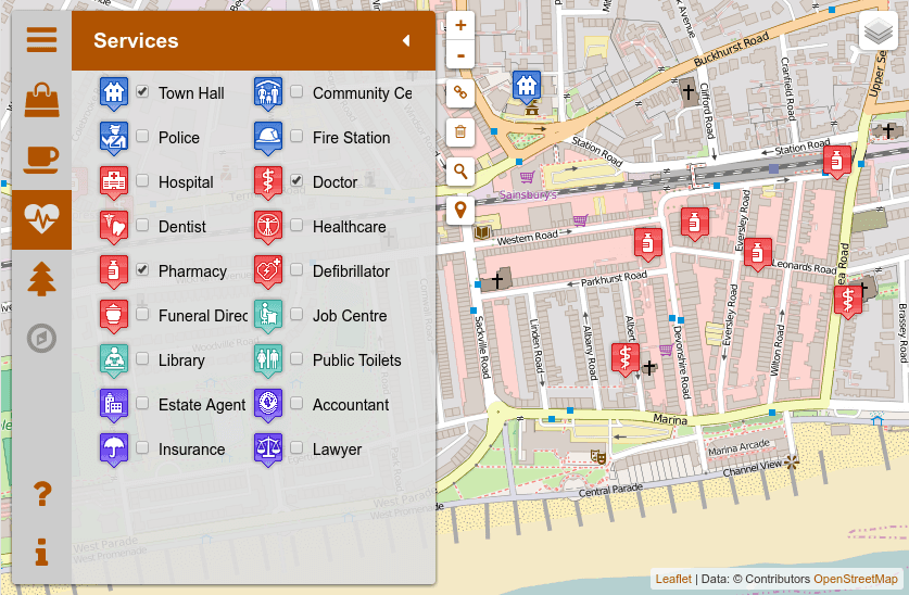
[1] This very detailed map of Bexhill (UK) by Dr-Mx is available on github. It is a fork of the Spanish language upoi.org by Manuel Kaufmann aka humitos.
Josh Cohan (Next City) describes a new “AccessMap Seattle” map, currently accessible as a beta version. Parts of Seattle are very hilly, and AccessMapSeattle shows that, and other barriers to accessability. The map is of course using OSM data.
A new version of OpenRouteService has been released. Timothy Ellersiek describes it here in the University of Heidelberg’s GIScience News Blog.
Caleb Pershan writes in SFist about some special “typographic” maps of American cities that have been created. All municipalities, roads, and water areas are exclusively represented in writing, and all are OSM based.
switch2OSM
Google tightens the terms of use for their Maps APIs. We naturally think this is a good time to switch to OSM.
Open Data
The city of Bonn has made a CC0 dataset available containing the location, type and age of urban trees. The coordinate system does need a little conversion, but that is described here by Josef Schugt.
… Le Portail IGN, a site for map comparisons? It’s similar to BBBike’s Map Compare, but has some different maps.
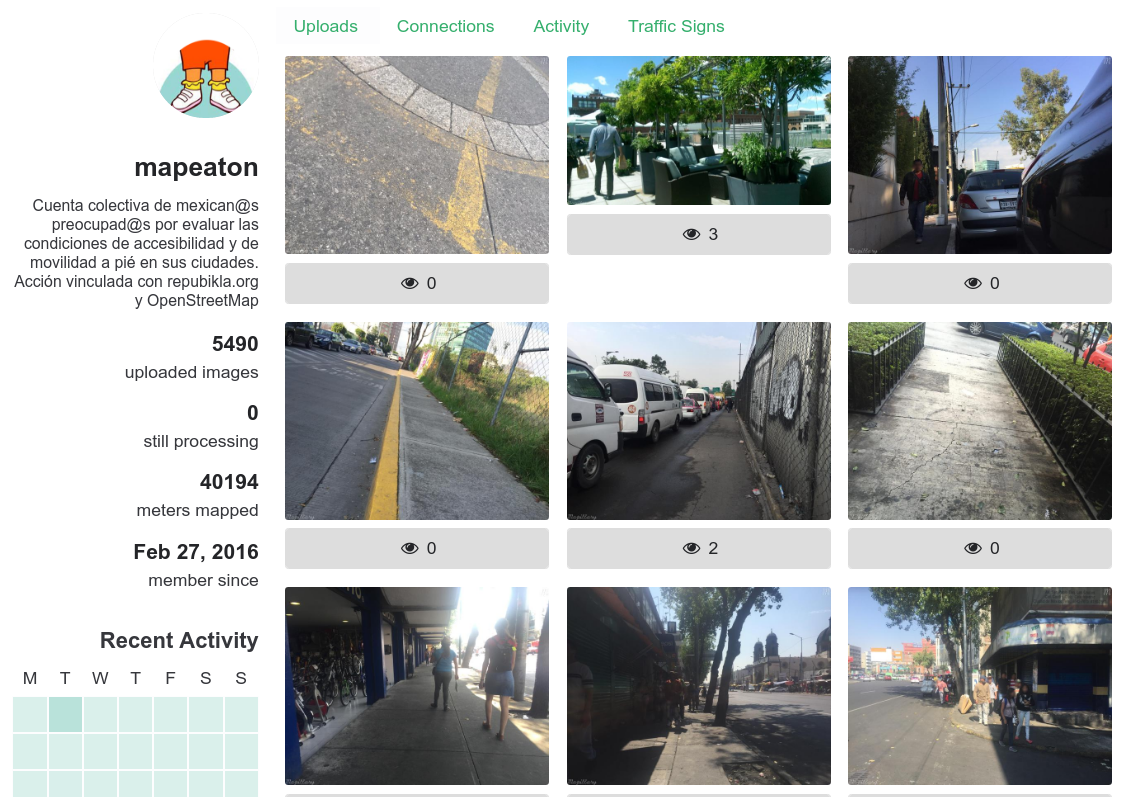
…about the Mexican project Mapeaton. A Mexican pun on the words “mapathon” and “peaton (pedestrian)”. The project’s aim is to take pictures of problems related to infrastructure for pedestrians.
Other “geo” things
GeaCron has published an interactive political world map which allows you to travel through the centuries. It’s a bit Eurocentric (I doubt much of the Americas and Asia were uninhabited 400 years ago) but it’s fun nonetheless.
Fastcompany has published a lengthy article about Ed Parsons (chief geographer at Google). OpenStreetMap and some of the companies in OSM’s ecosystem get a mention too…
Mapzen is hiring a “tiles engineer” in San Francisco or New York. Experience with OpenStreetmap is apparently a “bonus”!
Watch as the world’s cities appear one-by-one over 6,000 years (a visualisation by Metrocosm).
Mumbai’s “Mid Day” newspaper contains an article about new cartographers visualising individuality in maps (based on volunteer-led mapping and OpenStreetMap data).
Marco Viviani reportson Wikimania 2016. The Wikipedia Conference took place from June 22-28 in Esino Lario, Lecco, Italy. (automatic translation)




Leave a reply