Graphhopper is seeking help for coding as well as for translations [1]
12/07/2016-18/07/2016
Mapping
A discussionis ongoing on the German mailing list whether mobile shops (e.g. a mobile takeway) should be mapped on OpenStreetMap or not. If yes, then how can such shops be tagged. (automatic translation)
The government of Ecuador has made available a TMS layer of aerial imagery for OpenStreetMap mappers so that they can use it to improve OSM’s data.
#MapatonxGuapi generates geographical open data to control Malaria. Please join and start mapping. The project focuses on the layout of buildings, validation and creation of a complete transport network (roads) and identification of waterways and lakes of the Municipal head of Guapi, Cauca, Colombia.
The tagging proposal for “education 2.0” by user Keder (as we reported in an earlier edition) is now open for voting.
Maarten Deen wonders about the newly emerged tag waterway=fairway.
Manohar Erikipati had a detailed look at the changes made by Maps.Me users and came to a conclusion that there are many edits which are constructive.
Community
User Ziltoidium asked a question on behalf of a Spanish user in the German forum regarding the Berlin Wall. Subsequent activities revived the largely vanished Wall.
Build your own OpenStreetMap Tile Server in Ubuntu 16.04, a step by step guide by Xiao Guoan.
Marcos Costales publishes an introduction on how to setup your own tileserver (for Europe) with only 120GB of disc space.
Our editor Jinal Foflia from weeklyOSM was interviewed as the “Mapper in the Spotlight”.
As Pokémon Go is played in the real world, some were wondering about the source for the map data. Anita Lankinen asked about it on Spatineo’s blog and concludes it’s definitely not OSM based.
Also in the OSM Talk mailing list, Pokémon Go and its consequences for OSM are the subject of discussion. One thing should be obvious though: Please don’t add Pokémon spots to OSM, unless you can add actually useful information about the POI itself.
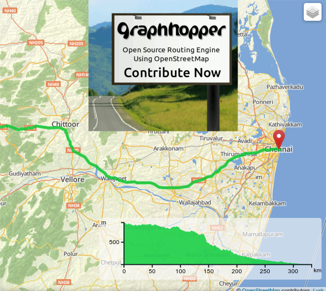
[1] Graphhopper is seeking help for coding as well as for translations.
Events
“Welcome To Germany - Building Bridges” is the motto of the FOSS4G in Bonn from August 24th till 26th. Please register before August 12th to get early bird advantages.
The International Open Data Conference, where the global community will discuss and debate about the future of open data, will happen in Madrid, Spain on October 6th and 7th, 2016. Pre-registration is open.
Humanitarian OSM
If you want to help HOT mapping efforts by preprocessing aerial imagery while you’re on the road, you can now use Mapswipe, so mappers can focus on the areas where there are actual features to map and where the imagery is useful (no clouds, sufficient resolution). You can download data beforehand and work with it while offline. The tutorial shows some examples, so that the “mapping”, as it is called there, too, can be carried out correctly.
Software
Gnome Maps suffers from the shutdown of MapQuest-Open. They are searching for alternatives which isn’t that easy as they have hardcoded URLs and they’d like to use maps that have English labels worldwide.
Programming
Inspired by Pokémon Go John Oram describes how to create a map in Pokémon Go style with Tangram.
Mapillary and Mapzen bothreport about their collaborative effort to match Mapillary data with OpenStreetMap with their tool called Meili. However, neither article evaluates the license-wise occurring problems due to OSM’s share-alike.
Nicola introduced the EU supported project i-locate which is dedicated to develop open standards and tools for indoor tracking, mapping and routing. It thereby tries to closely cooperate with OpenStreetMap.


Leave a reply