SelfishSeahorse’s proposal to tag lanes on roads which are explicitly marked for pedestrians, in open for voting.
Clifford Snow opened voting for his proposalfootway=access_aisle, intended to tag marked footways to parking lots in parking areas.
SelfishSeahorse’s proposal to use footway=link to connect stairs or sidewalks with roads has been changed to the status “proposed”.
Eric Theise proposes a way to describe whether communication masts or towers are disguised as something else. The suggested key is mimics= with values being the type of object being mimicked, and the proposal has been started.
Strava permits OSM tracing from Strava’s heatmap, which is based on the uploaded GPS tracks of activities of its users. The service claims that users upload approximately 8 million activities each week.
A new key marker, which was the subject of a recent proposal and associated discussions, has been approved. The key is meant for all kinds of utility markers and is suggested to replace usage such as pipeline=marker. However, not everyone is happy with deprecating tags with widespread usage.
Community
Michael Reichert presented (automatic translation) a draft (automatic translation) of a joint declaration of the German OSM community with demands for the future development of iD editors for discussion in the German forum and on the mailing list Talk-de (automatic translation).
OpenStreetMap reported on Twitter that teachers from some European towns met in Saarburg, Germany for a training session in humanitarian mapping and a hackathon, to kick off a two year Erasmus+ project.
The milpa digital project dedicated their 14th edition(automatic translation) to OpenStreetMap.
OSM Community index is one of the resources which allows the community to add the different communication channels that they use for communications. This list is now visualised and all the community channels are just a click away.
On GitHub, Ian Dees suggests introducing API keys for the OSMF tile servers and proposes code written by himself. His motivation seems to be the overload of the tile caches in some regions where the OSMF lacks hardware donations. Tom Hughes, one of the sysadmins, points out that the software Ian developed is not directly suitable for our setup, which has more than 40 cache servers.
Events
Marcel Reinmuth from the Heidelberg University’s GIScience Research Group will give(automatic translation) a talk about his internship at Uganda’s HOT team. The talk is scheduled for 28 November in Heidelberg, Germany.
Presentations and videos from local State of the Map CZ+SK 2019 conference in Brno are available.
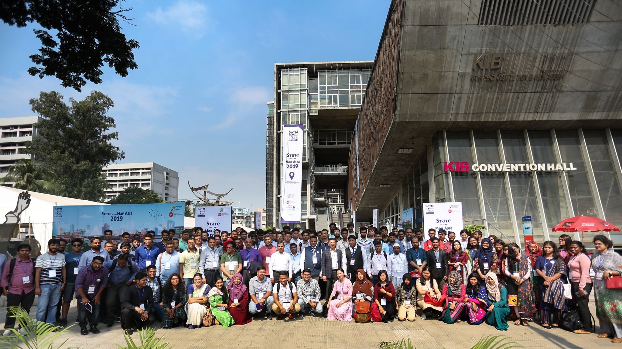
Yeni IRM-RV described her impressions of the State of the Map Asia 2019 in Dhaka, Bangladesh, in a illustrated article in her OSM user diary.
Humanitarian OSM
Felix Delattre informed the users of HOT’s tasking manager about the unstable state of the tool after a maintenance procedure. The issue came during the worst possible time at the GeoWeek with many planned mapathons. The system was back online some hours later.
Licences
Facebook provides datasets with roads under the MIT license, which have been detected with their machine learning technology and OSM data - or missing OSM road data to be precise. Rory McCann asks, on the mailing list, if these records fall under the ODbL’s share-alike clause.
Software
Jungle Bus announces its new editor: Busy Hours, a web editor for transport line schedules. It allows setting operating hours, peak and off-peak times, and service frequencies at these times. It is based on the tags of the proposal that was voted on last December. Help is needed to make it available in other languages.
The routing app Ski Nav has launched on iOS and Android, with a browser-based demo also available. User jancellor wrote a diary entry about how OSM data is processed and combined with NASA elevation data to make routing possible and to produce 3D piste maps, with a perspective similar to the official paper maps.
RustProof Labs, a Colorado-based IT consulting firm, published PgOSM on GitHub, a tool under MIT licence that aims to make access to open source spatial data easier by providing a simple way to load *.pbf files into PostGIS.
Inga Pöting reviewed (automatic translation) the navigation app Magic Earth from the perspective of its respect for user privacy. As General Magic goes to great efforts to respect the privacy of its users, Magic Earth can be recommend without restrictions.
A Russian programmer Maxim Ilyukovich has developed a mobile app Wander (so far Android only), which allows you to build interesting tourist routes in Saint Petersburg, Russia. The app is based on OSM data. Maxim also tells(automatic translation) in detail how he worked on the app.
Programming
A new article was published on Habr by the user provotor, where he shared(automatic translation) his experience of importing data from OSM.
Releases
After more than three years (9 June 2016) a new version of Merkaartor has been released. This is “only” a bugfix-release with some adjustments but at least they are still working on it. Thanks to Krakonoš.
The OsmAnd team has announced the release of version 3.5 of its Android navigation software. The application, profile settings, and the map download dialogs have been updated and the basemap offers a more detailed road network. For people planning to ski during the winter, the app now provides ski routing.
Missing Maps produced a video that promotes the use of KoBo by providing a brief introduction into the usage of the KoBo collection app and pointing to the advantages of mapping one’s own neighbourhood. The video also links to a summarising one-pager.
Did you know …
… that you can access the map features that have been extracted by Mapillary from its streetside imagery from iD? Mapillary announced the new layer, which you can find in iD’s map data tab.
… of MyWay (automatic translation), a website allowing you to find a convenient itinerary on the subway in Moscow? The service is developed by the Russian company NextGIS.
… about the various validators(automatic translation) created by the Russian user Cupivan? The service provides some unusual validations such as hazards, building entrances and helipads.
…Wowik’s Validator (automatic translation)? The validator can find potential problems with the mapping of roads and missing places, mainly in Russia and surrounding countries but also for other countries such as Nepal and Germany. In addition the tool offers the Polygon files required to cut OSM extracts into smaller pieces.
OSM in the media
Before the SotM LATAM 2019, the NGO TEDIC has published(automatic translation) an article about OpenStreetMap and the role mapping plays in our perception of the space around us.
Other “geo” things
Dan Cookson has used nearly 10 years’ worth of open data on UK postcodes to drive an animation of the creation of new postcodes, which are a good proxy for the location of new housing developments.
Joaquin Beltran tweeted an animation of military situation maps from the D-Day landings in Normandy in 1944 through to VE day in May 1945.
The deadline for submitting a paper to the 17th International Conference on Information Systems for Crisis Response and Management (ISCRAM 2020) is 6 December 2019. ISCRAM 2020 will be held at Virginia Tech, in Blacksburg, Virginia USA, on 24 to 27 May 2020.
The High Moselle Bridge, formerly the largest bridge construction project in Europe and currently Germany’s second highest bridge, has finally been completed and opened to traffic, after 8 years of construction. Thousands of citizens celebrated this at the airy height of 160 m above the Moselle valley. The bridge now creates a direct road connection between the Rhine-Main area and the Benelux countries. OSM is, of course, one of the first (automatic translation) to show this new route.
Swinburne University, Australia featured an article about research that investigated whether using photos of landmarks in mobile navigation apps helped in wayfinding. The research shows that such images can, to some extent, compensate for the lower spatial knowledge that users of mobile maps have compared to paper map users.
QuoVadis has released their follow up to QV7, QuoVadis X (QVX). QVX is a route planning tool which can be used to create and manage routes for uploading to your GPS device.
Ciarán Staunton discovered an archival TV clip from 1985 describing early computerisation of map making in Ireland.
Joe Morrison thinks that mature, open source alternatives are not disrupting Esri’s core business and explains the reasons for his conclusion in a comprehensive article at medium.com.
StrelkaMag published an interactive map “The history of Moscow housing”. The map shows during which era houses in Moscow were built. Even without understanding Russian, you can watch the growth of the City of Moscow in both housing numbers and the spatial extent, over different periods such as the Lenin or Stalin eras.
About a year ago Yandex, a kind of Russian Google, launched(automatic translation) a service similar to Mapillary - a collection of panoramic images from users, mainly taken with dashcams. Now these images are available on Yandex.Maps in the “Zerkala” (Mirrors) section.


Leave a reply