The whole weeklyOSM team thanks you for your interest, wishes you a Happy New Year (we reported earlier) and joins the wishes of the new OSMF chairman of the board – happy mapping. Do it here!
Mapping
The Osmose team announced the implementation of updates to their QA database with improved, persistent, identifiers as well as better links, false positive support and an improved update process.
The German forum discussed(automatic translation) the ID editor’s recommendation of the tag secondary_entrance for building entrances. It turns out that the history of entrance tag values is complex; some, for instance, are influenced by the mapping of Cambridge University done in 2011.
Community
Darafei Komяpa Praliaskouski created an OSM hate chart, with the most “hated” objects by size of contribution. Nice to see that Potlatch has not been forgotten.
Frederik Ramm posted an article titled The Diversity Dilemma in which he discusses the possible segregation of OSM contributors into volunteer enthusiasts from wealthy countries and paid local mappers in the “Global South”. He argues that this could cause problems in developing countries in terms of sustainability of contributions to OSM and having others tell you what to map, which is already sometimes even called “colonialism”.
OpenStreetMap Foundation
The newly elected chair of the OSMF board Allan Mustard asked for ideas on how OSM could attract more mappers in under-represented areas, following a proposal from the Diversity Working Group.
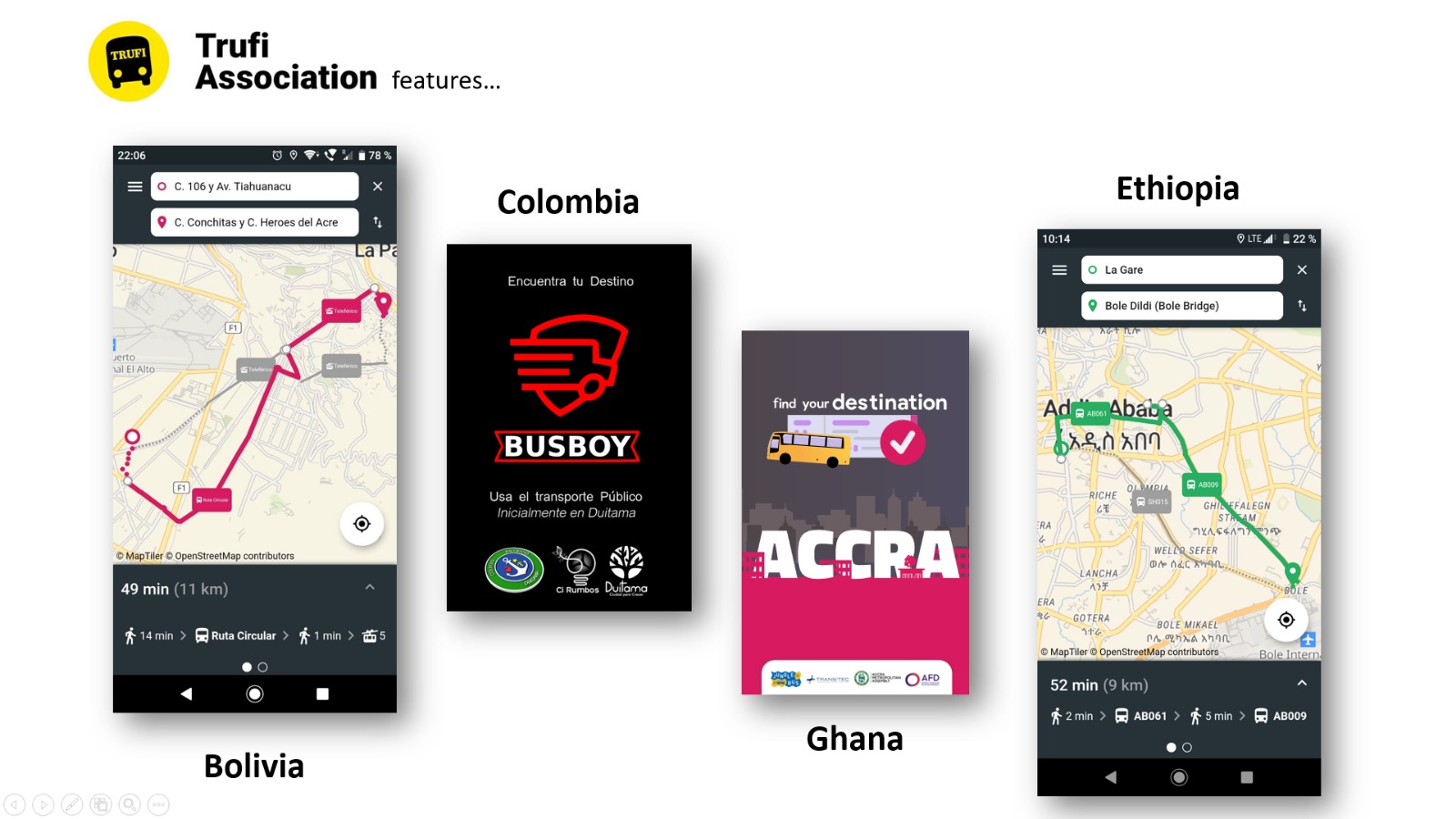
[1] Duitama (Colombia), with a population of around 115,000 inhabitants, has launched its public transport app, called BusBoy, based on Trufi and OSM – of course.
The OsmAnd team published a blog post with the 2020 New Year resolutions of the now extended team of seven software engineers and recaps the achievements of the previous year.
Releases
The JOSM team has released the next stable release of their OSM editor (15628), which improves the performance of the “Combine way” and “Parallel ways” map modes. With the expert option gui.start.animation you can now disable the start animation if you feel offended by snowflakes.
The historic.place-map has updated the background layer for zoom 8 to 10 for a more suitable appearance of the map. Following the withdrawal of the developer, the project is being run just enough to keep things “ticking over” until a new maintainer is found. If you feel interested just drop a note in any language at the end of this forum thread.
Less than two weeks after the release of version 3.10 of its navigation software for iOS, the OsmAnd team followed up with 3.11, which improves the support for languages and GPX trip management, brings a driving style setting for bicycles and fixes some bugs.
Did you know …
… the magic notebook for exploring data and thinking with code?
Other “geo” things
A tweet(automatic translation) from Eureka!, a German crossword app, points out that some national borders are very obvious on maps of geocaches.
In an article about the importance of citizen science and open data for today’s world the website Geospatial Worldnames “Open Street Maps” (sic) as an example of the shift which science and technology have to make towards the people involved.
Africapolis, a combined database of 7600 urban settlements throughout Africa, was set up by the OECD and the Sahel and West Africa Club to provide data for urban planners, researchers, and governments, as it is not just Africa’s big cities that continue to grow at a high rate but also small towns or ‘secondary agglomerations’. The project aims to become an open and freely downloadable, standardised geospatial database of geo-localised data, fed by Geographic Information Systems including satellite and aerial images. Navanwita Sachdev explains the background of the project.
Forbes featured Geoff Boeing’s paper (which we reported on in July 2018) analysing street network orientation, connectivity, granularity, and entropy in 100 cities around the world, using OpenStreetMap data.
Upcoming Events
Where
What
When
Country
Grenoble
Rencontre mensuelle
2020-01-06
London
Missing Maps London
2020-01-07
Hanover
OSM-Bearbeitung mit JOSM
2020-01-08
London
Geomob LDN (featuring OSMUK)
2020-01-08
Stuttgart
Stuttgarter Stammtisch
2020-01-08
Berlin
139. Berlin-Brandenburg Stammtisch
2020-01-09
Bochum
Mappertreffen
2020-01-09
Nantes
Rencontre mensuelle
2020-01-09
Montrouge
Rencontre mensuelle locale des contributeurs de Montrouge et alentours


Leave a reply