24/01/2023-30/01/2023
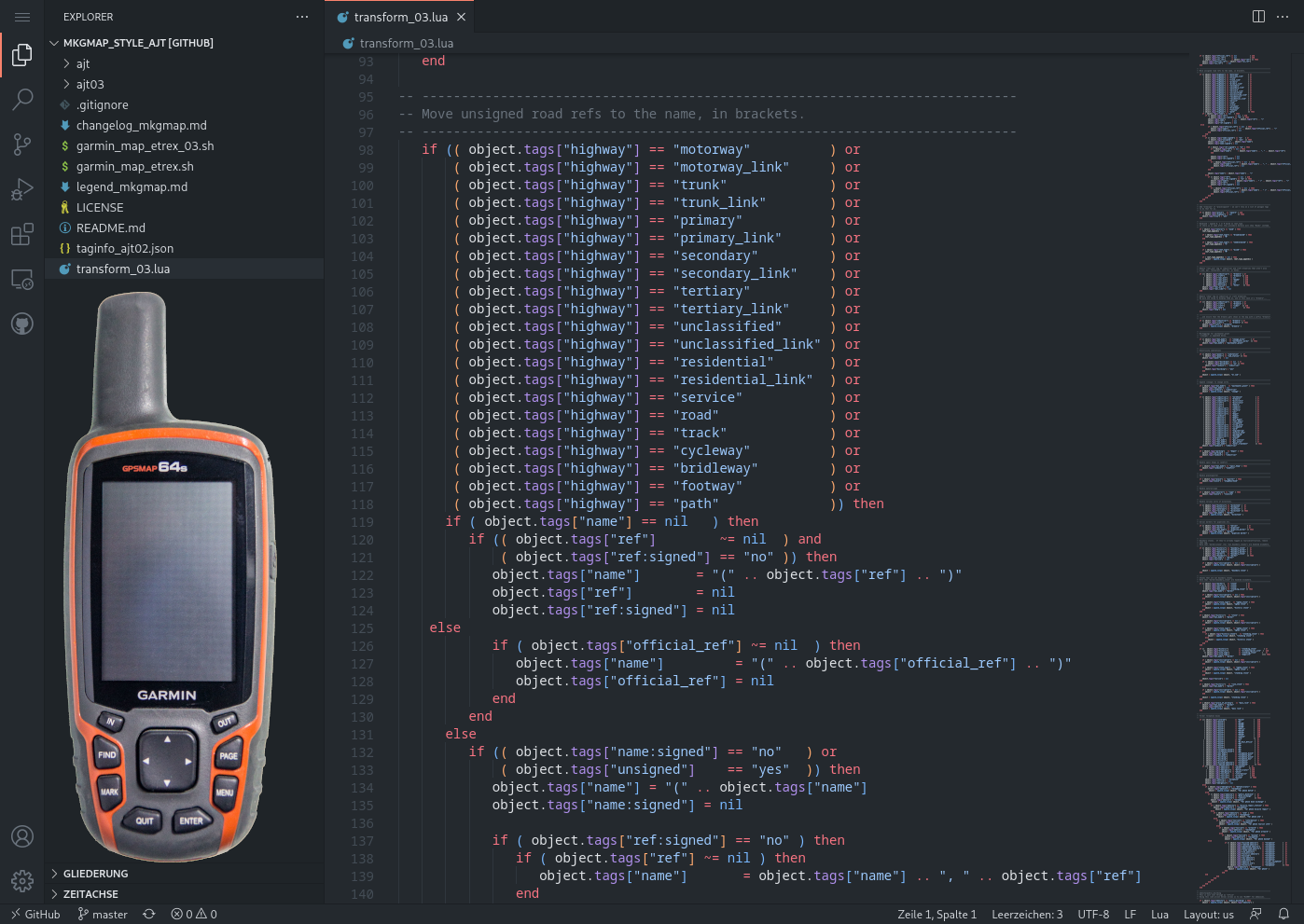
Andy Townsend crée des cartes OSM pour les appareils Garmin [1] | © Assemblage : copie d’écran du code dans Visual Studio Code par SomeoneElse et appareil Garmin par Virgilinojuca, CC BY-SA 4.0, via Wikimedia Commons.
Cartographie
- Dans le cadre d’une série sur la généralisation des données OSM, Jochen Topf partage cette fois-ci ses idées sur la généralisation des réseaux fluviaux.
- À Cochabamba, en Bolivie, l’association Trufi encourage les utilisateurs de son application à contribuer aux itinéraires de transport informel grâce à une fonction de cartographie simplifiée.
- Bobropiton a réalisé trois vidéos (1, 2, 3)
 sur la cartographie des lignes de bus et la recherche de lignes mal étiquetées.
 - Le Asia Pacific Hub de HOT a dressé une liste des erreurs de qualité des données les plus courantes dans OpenStreetMap par pays et a constaté certaines tendances.
- Christoph Hormann a exposé une méthode permettant de choisir ce qu’il faut afficher pour les noms composés en se basant sur l’attribut
default_language. - Valerie Norton (contributrice Valhikes) rend compte de ses activités cartographiques basées sur des randonnées de février à septembre 2022 à Calico. Voir aussi ses autres « Moments de poussière et d’encre », par exemple sur Fort Narraguinnep ou le Dangerous Park.
- Le vote pour la proposition d’étendre de manière cohérente l’utilisation de
utility=*aux zones industrielles et de services et aux bâtiments et armoires de service a été clôturé. La proposition a été approuvée par 19 voix pour, 4 voix contre et 1 abstention.
 sur la cartographie des lignes de bus et la recherche de lignes mal étiquetées.
Communauté
- OpenCage publie sur son blog un entretien avec « l’équipe Openstreetmap Somalia ».
- Grant Slater partage son point de vue sur le développement et les avantages d’OSM, en faisant référence aux bénévoles qui cartographient le réseau électrique d’Afrique du Sud entre autres choses.
Imports
- Le contributeur watmildon décrit comment la base de données nationale d’adresses des États-Unis peut aider à nettoyer les étiquettes TIGER.
Fondation OpenStreetMap
- Les membres du conseil d’administration de la Fondation OpenStreetMap partagent leurs visions personnelles pour 2023 (et promettent dans les commentaires une vision collective à suivre prochainement).
Cartes
- [1] Andy Townsend a écrit que ses cartes Garmin avancent bien. Vous pouvez télécharger des fichiers préétablis pour la Grande-Bretagne ou créer les vôtres.
- dcz rêvait de la carte parfaite pour son voyage à vélo. Grâce à TileMill et aux données OSM, le rêve est devenu réalité, mais pas le voyage à vélo.
Données ouvertes
- Adrion explique comment télécharger, convertir et importer la liste du patrimoine national de l’Angleterre dans Vespucci et Orux Maps afin de l’utiliser pour la cartographie.
- La Câmara Municipal da Horta, une municipalité de l’île de Faial aux Açores (Portugal), a publié ► les changements de sens de circulation en utilisant openstreetmap, y incluant le crédit aux contributeurs.
- Kai Johnson explique sur son blog comment lui et watmildon ont analysé les changements dans les données GNIS afin de trouver des ajouts et corrections potentiels pour OpenStreetMap aux États-Unis.
 ►
►
Applications
- Le logiciel osm-note-viewer d’Anthon Khorev peut maintenant être utilisé avec d’autres projets basés sur le site web d’OpenStreetMap. Il l’a expliqué davantage dans son blog.
- Pieter Vander Vennet a compilé quelques statistiques sur les Open Reviews. Outre l’application de démonstration officielle Mangrove, l’implémentation de MapComplete est la plus populaire.
- Planet Lite, la carte du monde entier libre de droits de MapTiler a été mise à jour avec des fonctionnalités améliorées. Quelques corrections de problèmes dans la version lite de MapTiler Planet complètent la mise à jour.
Développement
- Hans Thompson partage un script en langage R pour interroger des éléments d’OSM et les afficher sur une carte de navigateur à l’aide de l’outil javascript leaflet. Il utilise les points d’intérêt des marchés de producteurs (
amenity=marketplace) dans son exemple. - Hungerburg a expliqué ► comment il a utilisé l’outil en ligne de commande
jq(utilitaire linux) pour analyser un fichier JSON afin d’obtenir un aperçu d’un très grand fichier geojson de données ouvertes du gouvernement (dans son cas, les routes du Tyrol). - Vous vous êtes déjà embrouillé dans la syntaxe du langage de requête Overpass ? Désormais, vous pouvez mettre en évidence les éléments syntaxiques dans certains éditeurs : Visual Studio Code + éditeur compatible vscodium, et Kate de KDE.
- Inspiré par une vidéo (dont nous avons déjà parlé), rtnf a décidé de créer ses propres dalles vectorielles auto-hébergées.
 ►
►Nouvelles versions
- osm2pgsql 1.8.0 a été publié. Grâce à PostgreSQL 15, osm2pgsql est encore plus rapide.
- OrganicMaps a publié une nouvelle version avec des améliorations dans l’importation KML, une bonne gestion de l’altitude pour la randonnée et le cyclisme.
Connaissez-vous ? …
- … cet article de 2017 « Comment OpenStreetMap peut être utilisé pour le journalisme » ► par Lorenz Matzat ? L’article est toujours d’actualité. L’article devrait avoir une plus grande diffusion 😉
- … la liste des outils OSM préférés ► d’ivanbranco ? Il a récemment mis à jour la liste.
 ►
►Autres sujets géographiques
- OpenCage a publié la tâche et les résultats pour les Geotrivia de janvier 2023 sur son site web. Auriez-vous réussi à faire une chaîne de 10 pays, comme Ciarán Ferrie et rubpec ? Le vendredi 24 février, Ed lancera le prochain défi.
- -karlos- a utilisé l’outil Jigidi pour créer deux puzzles à partir d’une carte OpenStreetMap. Entre-temps, on trouve quelques puzzles sur Jigidi en cherchant sur OpenStreetMap.
- Le 25 janvier, on a appris que les codes sources des services Yandex avaient fait l’objet d’une fuite. Les codes sources de Yandex.Map ont également été divulgués, parmi lesquels les contributeurs ont trouvé un code permettant de travailler avec les données OpenStreetMap (mais avec une note sur l’incompatibilité d’utiliser les données OSM avec d’autres sources).
Événements à venir
| Où | Quoi | Online | Quand | Pays |
|---|---|---|---|---|
| Bayonne | Réunion du groupe local Pays Basque et Sud-Landes | 2023-02-03 |  | |
| Hannover | OSM-Stammtisch Hannover | 2023-02-06 |  | |
| MapRoulette Monthly Community Meeting | 2023-02-07 | |||
| OSMF Engineering Working Group meeting | 2023-02-07 | |||
| Strasbourg | Mapathon CartONG | 2023-02-07 | | |
| City of Westminster | Missing Maps London Mapathon | 2023-02-07 |  | |
| Stuttgart | Stuttgarter Stammtisch | 2023-02-07 | | |
| Berlin | OSM-Verkehrswende #44 (Online) | ✓ | 2023-02-07 | |
| Zürich | OSM-Stammtisch | 2023-02-08 |  | |
| München | Münchner OSM-Treffen | 2023-02-08 | | |
| London | London social pub meet-up | 2023-02-08 | | |
| Salt Lake City | OSM Utah Monthly Map Night | 2023-02-09 |  | |
| IJmuiden | OSM Nederland bijeenkomst (online) | ✓ | 2023-02-08 |  |
| Neufchâteau | OpenStreetMap – Réunion à Neufchâteau | 2023-02-09 |  | |
| Berlin | 176. Berlin-Brandenburg OpenStreetMap Stammtisch | 2023-02-10 | | |
| Budapest | Hiking by the pipeline from Barosstelep to the shooting range | 2023-02-11 |  | |
| 左京区 | 京都!街歩き!マッピングパーティ:第36回 金地院 | 2023-02-12 |  | |
| København | OSMmapperCPH | 2023-02-12 |  | |
| San Jose | South Bay Map Night | ✓ | 2023-02-15 | |
| Zürich | Missing Maps Zürich Mapathon | 2023-02-15 | | |
| Karlsruhe | Stammtisch Karlsruhe | 2023-02-15 | | |
| Olomouc | únorový olomoucký mapathon | 2023-02-16 |  | |
| Budapest | Hiking by the pipeline towards Százhalombatta | 2023-02-18 | | |
| Toulouse | Réunion du groupe local de Toulouse | 2023-02-18 | | |
| 160. Treffen des OSM-Stammtisches Bonn | 2023-02-21 | |||
| Berlin | Missing Maps – DRK & MSF Online Mapathon | 2023-02-22 | |
Note: Pour que votre événement apparaisse dans l’hebdoOSM, ajoutez-le au calendrier OSM.
Cet hebdoOSM a été préparé par MatthiasMatthias, PierZen, SeverinGeo, Strubbl, TheSwavu, derFred, jcr83, renecha.