28/06/2022-04/07/2022
OSM Inspector – with a revamp [1] © Geofabrik | map data © OpenStreetMap contributors
About us
- We found malware on our server and used the cleanup to come back online with a fresh server, an up to date theme and language switcher plugin. Thank you for all of you who have notified, analyzed, helped, tested and migrated with us – thehedgeh0g, firefishy, lonvia, matthiasmatthias, derFred, Michael S., someoneelse, stereo, strubbl, theFive.There are still some open points with all the changes, please do not hesitate to give us hints and suggestions if you come across anything you would change.
Mapping
- ezekielf asked about the use of access tags for snowmobile trails.
- User ImmaBeMe shared his concerns about the discrepancy between the few people in his area (Isfahan, Iran) who actively contribute to OSM and those who simply use it without thinking about how it was made.
- In a short video, Gregory Marler used overpass turbo to find the outdoor artworks that he mapped.
- Voting is currently open for:
school=entranceto deprecate the use of the tagschool=entrance, until Wednesday 13 July.school:for=*a tag for schools to indicate what kinds of facilities are available for special needs students.
Community
- Yunita Sari, from Jakarta, is the UN Mapper of the month.
- OSM Belgium has selected Ivan Lievens, from Belgium, as Mapper of the Month.
- It’s once again time for an episode of ‘The OpenCage Blog’ interview series with OpenStreetMap communities around the world. This time you will hear from Martijn van Exel all about OpenStreetMap in Utah.
- Sam Wilson briefly reported on a meetup in Shenton Park, Perth, which was supported by OSGeo Oceania, the Australian local chapter.
Imports
- Daniel Capilla continued
 > with the import of open data from the Málaga municipality by adding parking areas for people with reduced mobility.
 >
> 
OpenStreetMap Foundation
- Are you already using Mastodon? The OSMF is pleased to financially support the en.osm.town OpenStreetMap Mastodon (or ‘Mapstodon’) service.
Local chapter news
- Włodzimierz Bartczak reported > on an agreement between OSM Poland and the creators of ‘Seeing Assistant Move’ to support the movement of the blind using OSM data.
 >
> Events
- Open Mapping Hubs from HOT (Asia-Pacific, Eastern and Southern Africa, and Western and Northern Africa) are going to conduct a training webinar, with Meta (Mapillary, MapWithAI), on AI-assisted mapping on Friday 15 July.
Maps
- During the FOSSGIS Hackingweekend in Essen a map was presented which shows the characteristics of a way which are relevant and important for cyclists. You can, for example, select criteria (items only in ) such as ‘highways without cycleways and speed limits over 70 km/h’, but all tags will be displayed by clicking on a route section.
 ) such as ‘highways without cycleways and speed limits over 70 km/h’, but all tags will be displayed by clicking on a route section.
Software
- Do you want your own worldwide route calculator? You get that with GraphHopper! Just try it.
- Interested in mobile Linux, OSM, and/or Zig? Have a look at Mepo, a fast, simple, and hackable OSM map viewer for Linux, currently in active development. Designed with the Pinephone and mobile Linux in mind, it works both offline and online.
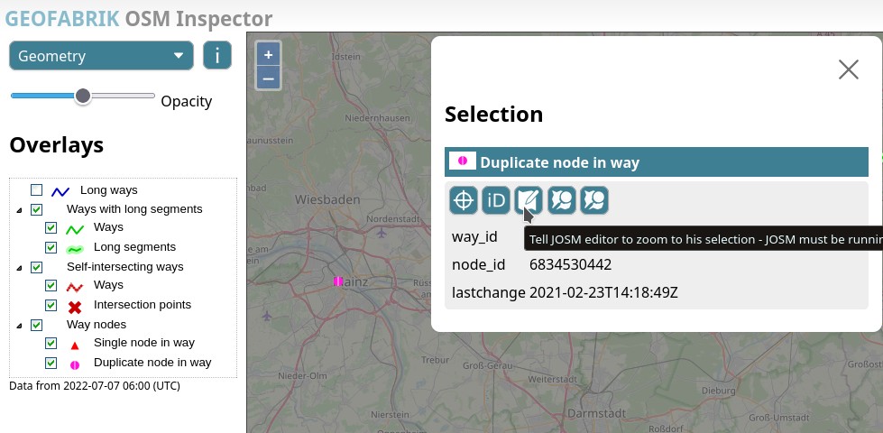
- [1] OSM Inspector, an OSM QA tool, has received a revamp. Geofabrik is seeking feedback.
- Since 7 June 2022, it has > been possible to create interactive maps in the German-language Wikipedia with comparatively little effort using ‘Kartographer’. Many articles are already waiting to be illustrated with maps. Take a look and join in.
Did you know …
- … the OSM Notes Heatmap > ? You can limit notes to ‘Only open notes’, ‘Only anonymous notes’, and ‘Only notes w/o comments’, and select those ‘Created before’ and ‘Created after’ a certain date.
- … that there’s a web version of the popular OsmAnd app?
- … that non-square buildings are not the only kind of quality issue with mapped buildings on OSM? Berrely reported, on Discord, that he had found grouped multiple buildings in a relation with the
building=yestag applied to the relation and not the ways. This was related to the tasking manager project tasks.hotosm.org/projects/9717, which is no longer available, about the Izmir earthquake response, Turkey, a year ago.
 >
> OSM in the media
- Ross Thorn gave an interview for the PLN8 Podcast about ‘The Realm of Playful Maps’. By this he means maps that are used in a playful context and thus pursue different goals than classic maps, e.g. by hiding specific information. He gave examples from computer games, board games and the field of art.
Other “geo” things
- The Guardian reported that UK cycle couriers were fired from their jobs due to ‘impossible’ routes that were suggested by a routing service which was claimed to be 10 times cheaper than Google Maps .
- Lat × Long is a new blog exploring and documenting geospatial things on the web, focusing on technology, data and standards. It provides – by their own account – regular updates and links to industry news, events, software and tools.
- Do you want to be one of the very few driving down one of the loneliest roads in the United States? This map is for you.
- Would you too consider it one of the last real and great challenges to have cycled all the tiles in as large a tile square as possible? Then read this report! Now.
- The German Federal Cartel Office has > initiated proceedings against Google. According to the authority, it is investigating whether the US company restricts the combination of Google Maps with third-party map services and thus exploits its position of power.
Upcoming Events
| Where | What | Online | When | Country |
|---|---|---|---|---|
| Região Geográfica Imediata de Angra dos Reis | Mapatona – Angra dos Reis | 2022-07-09 |  | |
| Fremantle | Social Mapping Sunday: Fremantle | 2022-07-10 |  | |
| Zürich | 142. OSM-Stammtisch | 2022-07-11 |  | |
| London | London pub meet-up | 2022-07-12 |  | |
| 20095 | Hamburger Mappertreffen | 2022-07-12 |  | |
| München | Münchner OSM-Treffen | 2022-07-12 | | |
| Berlin | Missing Maps – GRC Online Mapathon | 2022-07-12 | | |
| Landau an der Isar | Virtuelles Niederbayern-Treffen | ✓ | 2022-07-12 | |
| Salt Lake City | OSM Utah Monthly Meetup | 2022-07-14 |  | |
| Berlin | 169. Berlin-Brandenburg OpenStreetMap Stammtisch | 2022-07-14 | | |
| 臺北市 | 第三次 OpenStreetMap 街景踏查團工作坊 | 2022-07-17 |  | |
| OSMF Engineering Working Group meeting | 2022-07-18 | |||
| 153. Treffen des OSM-Stammtisches Bonn | 2022-07-19 | |||
| City of Nottingham | OSM East Midlands/Nottingham meetup (online) | ✓ | 2022-07-19 | |
| Lüneburg | Lüneburger Mappertreffen (online) | 2022-07-19 | | |
| 大阪市 | ひがよどの街を世界にシェア #01 | 2022-07-23 |  | |
| 京都市 | 京都!街歩き!マッピングパーティ:第32回 妙心寺 | 2022-07-24 | | |
| Düsseldorf | Düsseldorfer OpenStreetMap-Treffen | ✓ | 2022-07-27 | |
| [Online] OpenStreetMap Foundation board of Directors – public videomeeting | 2022-07-28 | |||
| 臺北市 | COSCUP 2022 OpenStreetMap x Wikidata 聯合議程軌 | 2022-07-30 | |
Note:
If you like to see your event here, please put it into the OSM calendar. Only data which is there, will appear in weeklyOSM.
This weeklyOSM was produced by Nordpfeil, PierZen, SK53, Sammyhawkrad, Strubbl, Supaplex, TheSwavu, derFred.