2022/11/15-2022/11/21

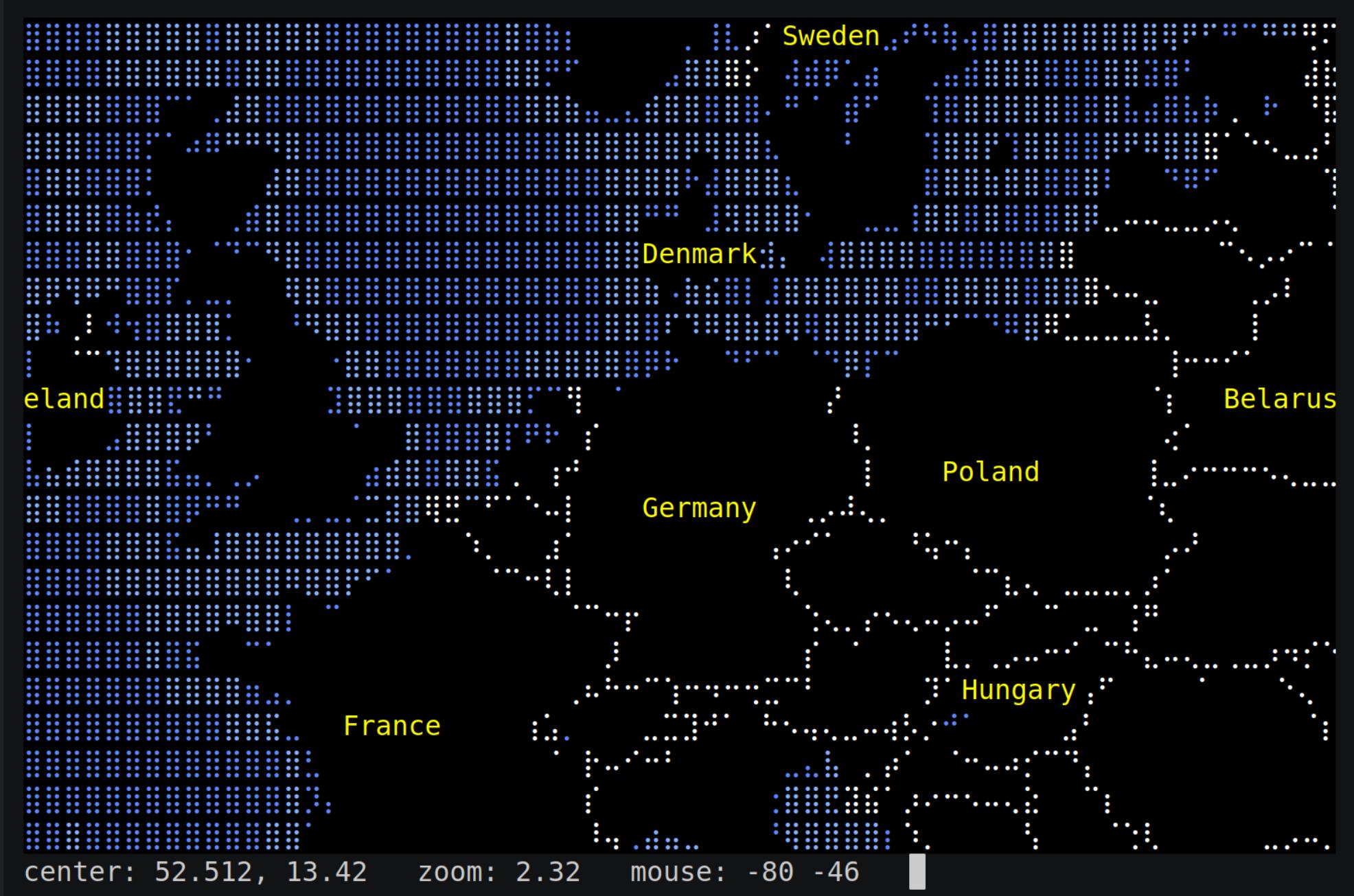
點字與 ASCII 型式呈現世界地圖彩現程式 [1] | © Michael Straßburger | 地圖資料 © OpenStreetMap 貢獻者
畫地圖
- Anne-Karoline Distel 仍然「痴迷」於 crannógs。她已經發佈了計劃中的五部分影片系列中的前兩部分,內容是關於如何繪製 crannógs 的地圖。
- watmildon 概述了他們用來尋找與修復
addr:housenumber被錯誤標記為name的實體的技術。 - OSM 使用者 blkatbyhh 分享了一個教學,介紹如何使用影像識別軟體 Fiji 從衛星影像中半自動繪製土地利用特徵。
- 以下提案正在徵求評論:
office=power_utility用來取代office=energy_supplier以標記電力公司的辦公室。emergency=lifeboat_station用來標記那些致力於救援遇難船隻及其水手的團體的建築物與基地區域。
fountain:design=*的投票正在進行中,此標籤是用來指定amenity=fountain是什麼類型的噴泉,投票截止日期為12月5日星期一。
社群
- OSMF 成員關於成員資格先決條件的調查結果(我們之前報導過)已經公佈。
- LySioS 展示了 Mastodon 使用者的增長。他還指出了 Amapanda 管理的站台。Amapanda 正在為此站台尋找圖示。
開放街圖基金會
- 工程工作小組 (EWG) 宣佈了徵集專案提議,以增加在 openstreetmap.org 網站上靜音使用者的功能。這讓在 openstreetmap.org 的收件匣中收到不想要的訊息的 OSM 貢獻者可以靜音(忽略)來自其他貢獻者的私人訊息。這提議已經在 GitHub 上討論了。
- OpenStreetMap 基金會 (OSMF) 的成員應該已經收到電子郵件,其中包含如何投票選舉四名新理事會成員的說明,他們可以在 UTC 時間12月3日星期六16:00後開始投票。投票將於 UTC 時間12月10日星期六16:00結束,屆時年度會員大會 (AGM) 將開始。正如我們上週報導的那樣,OSM wiki 有更多資訊,可以閱讀候選人對官方問題與宣言的回答。
- Risk of hostile takeover of the OpenStreetMap Foundation 是上週在 osmf-talk 上唯一的討論,且與目前的理事會選舉相關,今年有四個席位與十一位候選人,其中有一些與公司有關連。OSMF 是 OSM 資料庫(與硬體)的合法擁有者。一位美國貢獻者發起了討論,要羅蘭,歐布格澄清 talk-de 郵係論壇的討論,該討論指責他偏愛德國人更勝於美國候選人。但其他人討論的重點是惡意收購的風險時,意見確實大相徑庭。
- Christoph Hormann 在他的部落格中寫下了他過去一年對 OSMF 的看法。在許多其他事實中,他觀察到「OSMF 政策日益商業化」與「遊說在 OSMF 政策建議中越來越占主導地位」。
活動
- Twitter 與 Mastodon 上的2022年30天地圖挑戰賽繼續進行。不可能充分承認眾多傑出作品。我們所做的選擇純屬隨機而非經過評估。請親自欣賞這些作品。franceinfo 報導
►
這個挑戰怎麼從 2019 年分蘭繪圖師的挑變,變成全球的活動。
- 第十五天:食物/飲料 | Vanessa Tebbitt
@vanessatebbitt * 肉類消費與二氧化碳排放 | Loore @loore_ko * 2019年愛沙尼亞漁船航線 | Hans van der Kwast @hansakwast * 荷蘭起司何處買 | bordoray @bordoray * 如 E(ps)GG:221115 般烹煮 | - 第十六天:最小化 | ThoNoi @noirothomas * 頂部、底部與疑點 | MapServer Studio @mapserverstudio * WORLDLE | Peter Gorman @barelymaps * 奧瑞岡州波特蘭的橋。 | Nim – @bbecquet@mamot.fr @nimwendil * 馬爾島的 64×64 像素藝術 |
- 第十七天:沒有電腦的地圖 | suǝbbıɹɟ pıʌɐp @dakvid * 澳洲形狀的披薩。 | BKG @BKG@social.bund.de * 聖誕餅乾 | jcarlson@mapstodon.space Josh Carlson @jcarlson@mapstodon.space * 跟孩子們一起製作地圖 | Dolly Andriatsiferana @privatemajory * 地理小說 |
- 第十八天:彩色星期五:藍色 | Michel Stuyts @michelstuyts@fosstodon.org * 德爾訥機場周圍的流量累積 | Vikki :verified: @DataScienceNot2@tech.lgbt * 一些藍鰭金槍魚的遷徙路線 | Xiao Wang @gisXiaoWang * 當地圖遇上青花瓷。 | Keith Jenkins @kgjenkins@mapstodon.space * 等一下…… |
- 第十九天:地球 | LUC @LUCtweeting * 元素地球 | Sam Keast @SouthCrossMaps * 歐亞與非洲人口 | Andrew DC 🌈 @andrewdc_nz * 所有的月亮時間 | Andrew Tyrrell * 柏拉圖地球@SouthArrowMaps@mapstodon.space |
- 第二十天:「我的最愛……」 | Doug G. @douggreenfield@mapstodon.space * 我的最愛地圖的地圖 | ArtisansCartographes @Artisans_Cartos CrossMap 拼圖 | Seán @Seaniesan * 愛爾蘭地質圖 |
- 第二十一天:資料:輪廓人口資料集 | Benjamin Becquet @bbecquet@mamot.fr * 荷蘭生活在海平面以下的人口 | I.K.D @IKEDA_02 * 索馬利亞摩加迪休的人口 | Ahmad Zaenun Faiz @zaenun_faiz * 爪哇中六角
- 第十五天:食物/飲料 | Vanessa Tebbitt
- HOT 分享了一份 HOT unSummit 中期計劃報告,該報告迄今包括六個國家的七項活動合作。
- OSM 使用者 Rashid86 報導稱
►
,InDrive.Tech 於11月16日至23日發起了一項繪製哈薩克小型定居點地圖的活動,恰逢國際地理資訊系統日。
地圖
- yvecai 慶祝完成超過 100,000 公里的北歐滑雪道繪製。
釋出
- Nominatim 4.1.1 釋出。這是一個錯誤修復版本,解決了資料庫與搜尋更新方面的一些問題。
你知道嗎?
- [1] ……MapSCII,在您的終端機中使用的點字與 ASCII 世界地圖繪製程式?
- ……OpenLayers,一個互動地圖的 JavaScript 函式庫,回報他們的 Twitter 帳號被鎖定。在 Twitter 上搜尋會回報「此帳號不存在」。Twitter 實際上要求使用者至少年滿 13 歲,而團隊將2006年的第一個釋出日期定為他們的生日。我們可以在推特上確認 @openlayers 的重生,但不能確認他們的年齡!
未來活動
註: 你也可以在這裡展示你發起的活動!只須在行事曆上塡妥活動資訊即可。 只有記載於行事曆上的活動資訊才會在《週刊OSM》列出。你也可以在行事曆預覽檢查你提交的活動, 並作出適當更正。
這期 weeklyOSM 由 PierZen, Strubbl, Supaplex, TheSwavu, derFred, s8321414 編譯 ##team##