16/05/2023-22/05/2023
WikiShootMe: Location of Wikidata items [1] | | © wikimedia.org Toolforge | map data © OpenStreetMap contributors
Mapping
- Wilmer Osario wrote
 ► in his diary about re-drawing and improving 90 km of the Caracas-La Guaira Highway, by hand, from scratch, in JOSM. He explained in detail how he did it, adding an impressive number of screenshots to visualise every step. It is like an user manual for mappers who may be planning to do similar things.
 ►
►
Community
- adreamy has made a Telegram sticker set. offering a more fun and comfortable way for OSM contributors to communicate.
He noted that sticker images can be exchanged, so if you have a good image or idea, let him know and he’ll take it into consideration.
OpenStreetMap Foundation
- Grant Slater, the OpenStreetMap Foundation’s Senior Site Reliability Engineer, reflected on the advancements made during his first year of work. Collaboration by Grant with the Operations Working Group has boosted OSM’s infrastructure documentation, reliability, and security. Also, a new Dev server was installed and the old forums migrated to Discourse.
Events
- Pete Masters (Head of Community at HOT) blogged that the former HOT unSummit has been renamed HOT OpenSummit.
Education
- Anne Schauß, from HeiGIT, held a training session in Kuala Lumpur, Malaysia, for the International Federation of Red Cross and Red Crescent Societies (IFRC). She showcased the Sketch Map Tool (with functionality similar to Field Papers), that helps collect geolocated field data by tracing with pen and paper. Either OpenStreetMap (OSM) or an image is printed as the background.
Maps
- #geoObserver reviewed ► Shadowmap, an application that simulates the movement of shadows. The app can predict the direction of shadows at any given time and place using astronomical calculations of the sun’s movements combined with building data from OpenStreetMap.
 ►
►Open Data
- Arno Dagnelies highlighted the lack of a high-quality source of address data for the whole world and presented his OpenStreetData project. To achieve global coverage with high-quality, open-licensed data, the author extracts addresses from raw OpenStreetMap data, along with postcodes, street names, and administrative districts. Arno describes in detail the process of address processing and the difficulties he encountered.
Software
- The GeoVisio team, which includes contributors from OSM-fr, has developed an open-source streetview platform.
- yuiseki improved the performance of the Trident GeoAI, which is based on a large language model. You can enter your requirements, and then see the results in this futuristic interface map.
 the performance of the
 Programming
- gislars, from the Traffic Flow and OpenStreetMap group, tooted a new analysis and map of parking spaces in Braunschweig as part of the project ‘Parking Analysis with OpenStreetMap’.
Did you know …
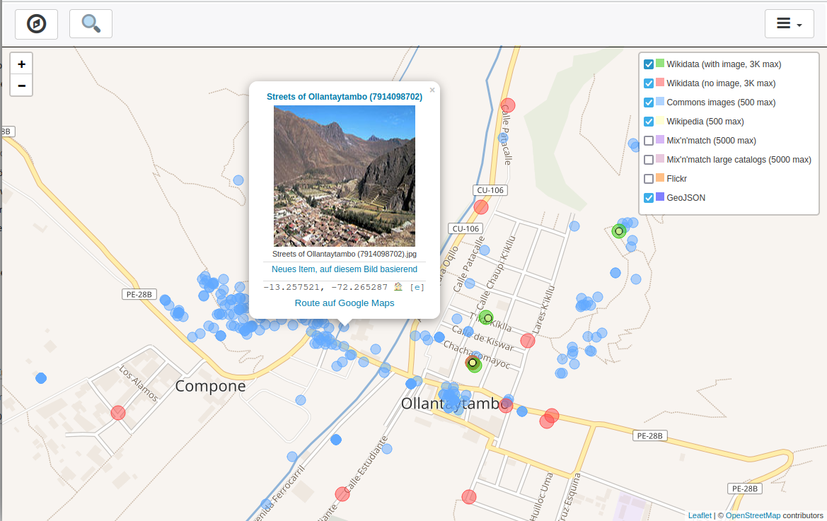
- … that the WikiShootMe application can display the location of Wikidata items around you in the form of a map?
- … how to use exiftool in order to get the GPS coordinates from an image’s Exif header, in a format which is recognised by OpenStreetMap’s search?
- … how to set up OsmAnd quick actions to have your favourite features on the map for fast access?
Other “geo” things
- Rémy Crassard and his colleagues have found several plans of desert kites (hunting or herding traps) carved into rocks in Jordan and Saudi Arabia. Thought to have been made in the Neolithic era, these engravings are among the oldest scale plans found so far.
- Ursula Petula Barzey explained the various indigenous names of some Caribbean Islands that were used prior to European colonisation.
Upcoming Events
| Where | What | Online | When | Country |
|---|---|---|---|---|
| Royal Borough of Greenwich | Hasiru Aqua | 24-Hour Mapathon | 2023-05-26 – 2023-05-27 | |
| 左營區 | 2023年5月 OpenStreetMap 街景踏查團 | 2023-05-27 |  | |
| Tiranë | Maproulette Challenge at Open Labs Albania | 2023-05-27 |  | |
| Singapore | OG Training by HOTOSM AP-Hub | OSM ON THE GO: OSM MOBILE APPLICATIONS | 2023-05-27 | |
| MapRoulette Nights | 2023-05-28 | |||
| OSMF Engineering Working Group meeting | 2023-05-31 | |||
| Düsseldorf | Düsseldorfer OpenStreetMap-Treffen | 2023-05-31 |  | |
| Bologna | Alluvione dell’Emilia-Romagna: editathon e mapping party al Salaborsa Lab | 2023-06-03 |  | |
| Mosquera | Mapea por Mosquera | 2023-06-04 |  | |
| Mosquera | Resolución de notas en tiempo real – Real-time note resolution | 2023-06-04 | | |
| MapRoulette Nights | 2023-06-04 | |||
| MapRoulette Monthly Community Meeting | 2023-06-06 | |||
| Missing Maps London Mapathon | 2023-06-06 | |||
| San Jose | South Bay Map Night | ✓ | 2023-06-07 |  |
| OSM-Verkehrswende #48 | 2023-06-06 | |||
| Stuttgart | Stuttgarter Stammtisch | 2023-06-07 | | |
| Richmond | State of the Map United States 2023 | 2023-06-08 – 2023-06-11 | | |
| Rīga | State of the Map Baltics 2023 | 2023-06-08 – 2023-06-09 |  | |
| Windsor | MapRoulette-A-Thon | 2023-06-09 |  | |
| München | Münchner OSM-Treffen | 2023-06-08 | | |
| Marseille | State of the Map France 2023 | 2023-06-09 – 2023-06-11 |  | |
| Berlin | 180. Berlin-Brandenburg OpenStreetMap Stammtisch – 15 Jahre – mit der Wikipedia-Community | 2023-06-09 | | |
| Zürich | OSM-Stammtisch | 2023-06-10 |  | |
| Hannover | OSM-Stammtisch Hannover | 2023-06-10 | |
Note:
If you like to see your event here, please put it into the OSM calendar. Only data which is there, will appear in weeklyOSM.
This weeklyOSM was produced by MatthiasMatthias, Nordpfeil, PierZen, Strubbl, TheSwavu, YoViajo, barefootstache, derFred, muramototomoya, rtnf.
We welcome link suggestions for the next issue via this form and look forward to your contributions.
Some entries in the Upcoming Events table aren’t correctly formatted. In the first row, for example, the date is in the country column.
Thank you for your hint! It seems the pipe character from the title of the event screws up our markdown. That’s good to know!
With regard to Open-Data by Arno Dagnelies (to which I could not find a way to contact)
Hello Arnaud,
I extracted the streets of Hannover (Germany). The house numbers of Steubenweg 2, 2A – 2F are missing. They are part of the individual buildings. The number 1, 1A – 1F and others are individual points in a block of buildings and can be found in the data.
Kind regards
Lutz