2022.03.22.-2022.03.28.
스팀 덱에서 JOSM 사용하기 [1] © by Riiga licensed under CC BY-SA 4.0 | map data © OpenStreetMap contributors (ODbL) | JOSM: GPLv2 or later
지도 제작 캠페인
- Amanda가 아일랜드 지역 오픈스트리트맵에 200만 번째 건물을 그린 사람을 발표했습니다.
지도 제작
- FasterTracker가 대중교통에
network를 사용하는 방법이 명확하게 정의되어 있지 않다고 지적하면서, 그 예시로 포르투갈 리스본의 AML을 들었습니다.
 - Minh Nguyen이 미국 오하이호주 마을 경계선의 이상한 점을 일기장에 올렸습니다.
- muchichka가 최근 우크라이나 형사법이 개정되면서 군사력의 이동과 전개 관련 정보를 제공하는 것이 불법이 되었다고 말하면서, 오픈스트리트맵의 군사 시설 정보도 이에 포함된다고 지적했습니다.
- 피드백을 받고 있는 제안들은 다음과 같습니다.
- 인공물에 붙이는
manufacturer:*=*와model:*=*태그를 표준화하자는 제안. - 자폐증 환자가 방문하기 좋은 시간대를 나타내기 위해
quiet_hours=*태그를 도입하자는 제안. surveillance:type=guard와office=security의 차이점을명료히 하자는 제안.- 트럭이 짐을 창고에 내려놓는 자리인 하차장(dock)의 높이와 폭을 나타내기 위해
dock:height=*,door:height=*,door:width=*등의 태그를 추가하자는 제안.
- 인공물에 붙이는
 그 예시로 포르투갈 리스본의
커뮤니티
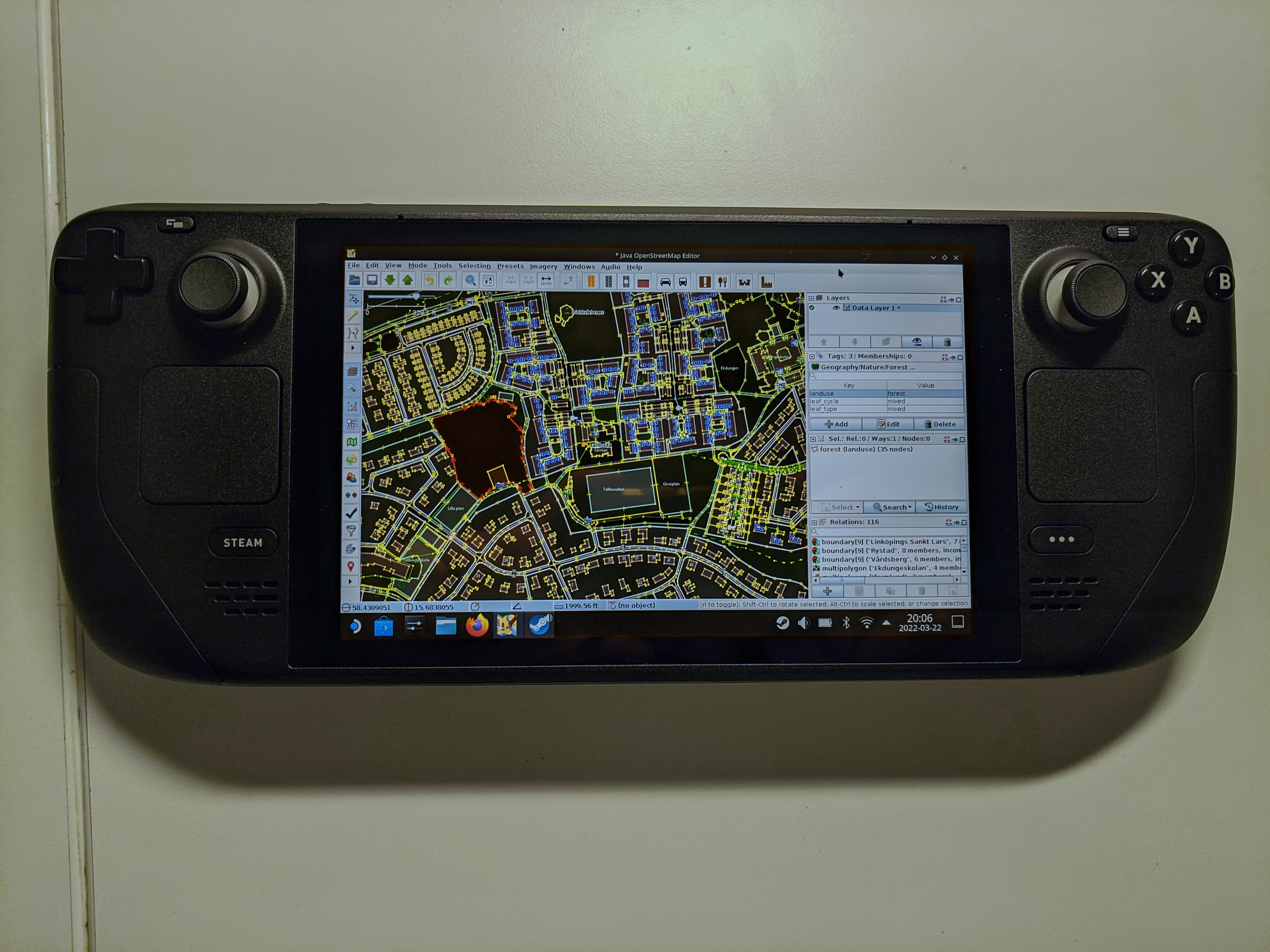
- [1] @riiga#7118이 스팀 덱 게임 콘솔로 JOSM을 구동하는 모습을 찍어 올렸습니다(원본 게시물, 디스코드 로그인 필요).
- 오픈스트리트맵 커뮤니티 지수를 기반으로 한 Who Maps Where(WMW)을 이용하면 현지 지식으로 오픈스트리트맵에 기여하는 사람을 찾을 수 있습니다. 찾고자 하는 영역을 직접 지정하고 싶으시다면 깃허브의 README 페이지를 참고하세요.
- qeef가 HOT 태스킹 매니저 이용자 간 소통 기능이 오픈스트리트맵 홈페이지의 소통 기능과 중복된다면서, 이는 잘못된 점이라고 지적했습니다.
오픈스트리트맵 재단
교육
- unen이 HOT 아시아-태평양 열린 지도 제작 허브에서 안내 요원으로 일한 소감을 일기장에 올렸습니다. unen은 향후 토론 안건을 공지받을 사람들을 대상으로 연락처를 받고 있습니다. 최근 몇 주간 제기된 안건은 ‘옛날 버전의 오픈스트리트맵 데이터에 접근하기’, ‘JOSM의 원격 조종 기능 문제’ 등이 있습니다.
지도
- Marcus Dione가 OSGeo에서 제공하는 도구로 북유럽의 음영 기복도를 제작하면서 겪은 문제를 블로그에 올렸습니다.
switch2OSM
- PlayzinhoAgro가 성별로 인한 폭력을 나타내기 위해 브라질의 공공 서비스 시설을 오픈스트리트맵에 추가하는 프로젝트를 소개했습니다. 현재 변호사들과 심리학자들이 자원해서 이 프로젝트에 도움을 주고 있습니다.
열린 데이터
- ITDP에서 ‘왜 열린 데이터가 자전거 운전에 중요한가’라는 주제로 진행한 웨비나를 Trufi 협회 웹사이트에 올렸습니다.
소프트웨어
- iOS/안드로이드판 Organic Maps가 업데이트되었습니다. 이번 업데이트에서는 지도 데이터와 위키피디아 문서가 업데이트되었으며, 자잘한 버그가 수정되었습니다.
- Anthon Khorev가
https://www.openstreetmap.org/user/username/notes의 대체재로 osm-note-viewer를 제작했습니다. osm-note-viewer를 이용하면 특정인이 올린 참고를 목록 및 지도로 볼 수 있습니다.
출시
- GNU/Linux.ch에서 StreetComplete의 업데이트를 보도했습니다.

알고 계셨나요?
- 텍스트 기반의 오픈스트리트맵 편집기 Level0을 알고 계셨나요?
- 오픈스트리트맵에 활발하게 기여하는 사람은 OsmAnd 앱에서 지도를 무제한으로 업데이트할 수 있는 자격을 받는다는 사실을 알고 계셨나요? 자세한 정보는 오픈스트리트맵 플러그인 설정을 참고하세요.
- 파이어폭스와 구글 크롬에서 사용할 수 있는 브라우저 확장 프로그램, OSM Smart Menu를 알고 계셨나요? OSM Smart Menu를 이용하면 오픈스트리트맵 데이터 분석에 필요한 각종 지도와 도구를 손쉽게 불러올 수 있습니다. 불러올 수 있는 도구의 예시는 다음과 같습니다.
- 유턴 금지나 좌회전 금지와 같은 회전 제한을 오픈스트리트맵에서 나타낼 수 있다는 사실을 알고 계셨나요?
기타 ‘지리’ 관련 소식
- @Pixel_Dailies가 매일매일 새로운 주제로 그림을 올리는 픽셀 아티스트에 도전했습니다. 월요일의 주제는 풍경을 바로 위에서 바라보는 버드 아이 뷰(#BirdsEyeView)였습니다.
- Valentin Socha가 1993년 프랑스의 한 방송사에서 송출한 일기예보를 캡처해 트위터에 올렸습니다. 각 날별로 날씨를 글자 하나에 표현한 점이 핵심입니다.
다가오는 행사
| 장소 | 명칭 | Online | 일시 | 국가 |
|---|---|---|---|---|
| Open Mapping Hub Asia Pacific OSM Help Desk | 2022-04-04 | |||
| OSMF Engineering Working Group meeting | 2022-04-04 | |||
| Bologna | Open Data Pax | 2022-04-04 |  | |
| Stuttgart | Stuttgarter Stammtisch (online) | 2022-04-05 |  | |
| London | Missing Maps London Mapathon | 2022-04-05 |  | |
| Berlin | OSM-Verkehrswende #34 (Online) | ✓ | 2022-04-05 | |
| Open Mapping Hub Asia Pacific OSM Help Desk | 2022-04-06 | |||
| Tasking Manager Collective Meet Up – Option 1 | 2022-04-06 | |||
| Tasking Manager Collective Meet Up – Option 2 | 2022-04-06 | |||
| Heidelberg | Heidelberg Int’l. Weeks Against Racism: Humanitarian Cartography and OpenStreetMap | 2022-04-06 | | |
| Berlin | 166. Berlin-Brandenburg OpenStreetMap Stammtisch | ✓ | 2022-04-08 | |
| OSM Africa April Mapathon: Map Kenya | 2022-04-09 | |||
| Open Mapping Hub Asia Pacific OSM Help Desk | 2022-04-11 | |||
| 臺北市 | OpenStreetMap x Wikidata Taipei #39 | 2022-04-11 |  | |
| Washington | MappingDC Mappy Hour | 2022-04-13 |  | |
| San Jose | South Bay Map Night | ✓ | 2022-04-13 | |
| 20095 | Hamburger Mappertreffen | 2022-04-12 | | |
| Open Mapping Hub Asia Pacific OSM Help Desk | 2022-04-13 | |||
| Michigan | Michigan Meetup | ✓ | 2022-04-14 | |
| OSM Utah Monthly Meetup | 2022-04-14 | |||
| Open Mapping Hub Asia Pacific OSM Help Desk | 2022-04-18 | |||
| 150. Treffen des OSM-Stammtisches Bonn | 2022-04-19 | |||
| City of Nottingham | OSM East Midlands/Nottingham meetup (online) | ✓ | 2022-04-19 | |
| Lüneburg | Lüneburger Mappertreffen (online) | 2022-04-19 | | |
| Open Mapping Hub Asia Pacific OSM Help Desk | 2022-04-20 | |||
| Dublin | Irish Virtual Map and Chat | ✓ | 2022-04-21 |  |
| 京都市 | 京都!街歩き!マッピングパーティ:第29回 Re:鹿王院 | 2022-04-24 |  | |
| Open Mapping Hub Asia Pacific OSM Help Desk | 2022-04-25 |
참고: 행사를 여기에 추가하고 싶다면, 캘린더에 행사 일정을 작성해 주세요. 캘린더에 있는 데이터만 주간OSM에 나타납니다. 캘린더 미리보기에서 행사를 확인하고, 만약 행사 정보가 틀렸다면 적절하게 수정해 주세요.
이 주간OSM은 다음 사람들이 제작했습니다. Lejun, LuxuryCoop, Nordpfeil, Strubbl, derFred.