08/02/2024-14/02/2024
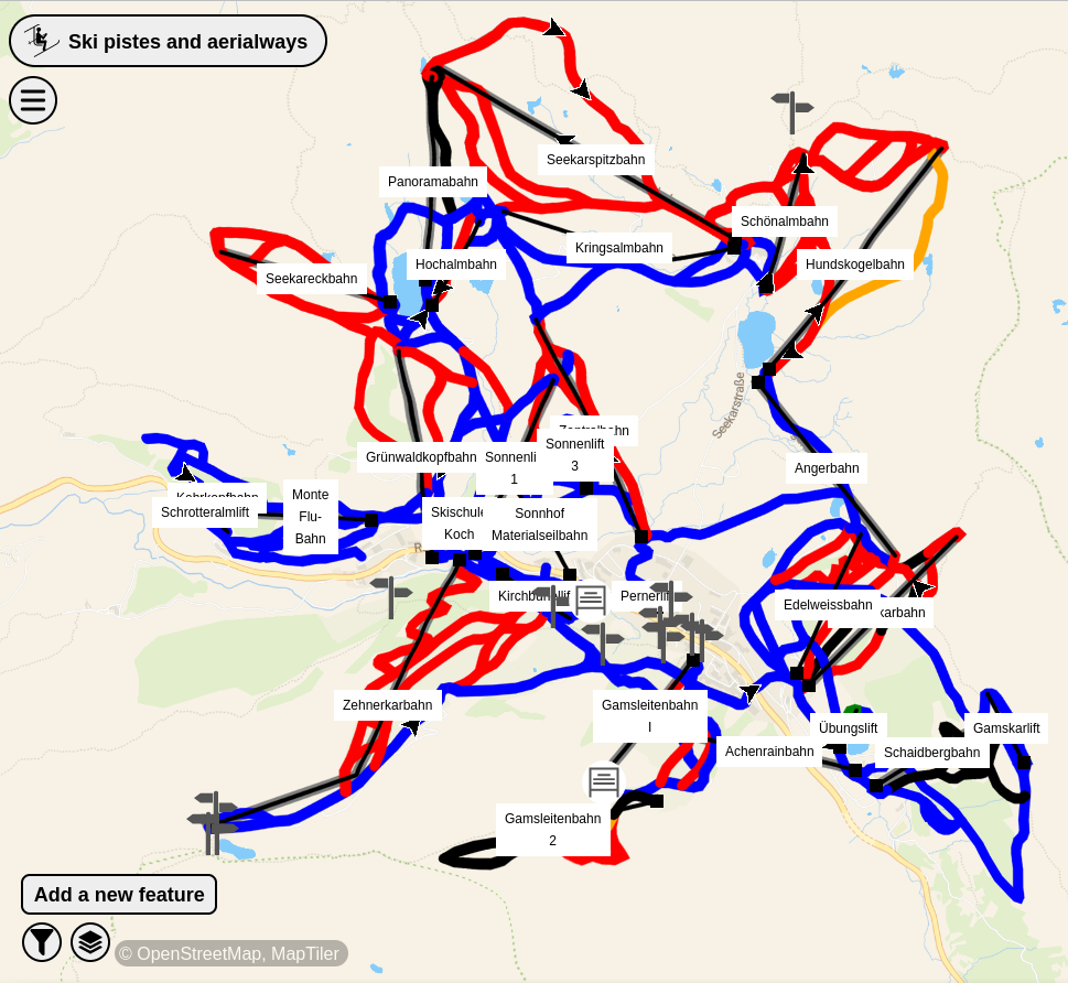
Ski pistes and aerialways in MapComplete [1] | © MapComplete, MapTiler | map data © OpenStreetMap contributors
Breaking news
- The OpenStreetMap Engineering Working Group announced that 2024 will be the year of the OpenStreetMap vector map and that Paul Norman has been hired to work on the project. Vector tiles represent a significant advancement from the traditional raster tiles (static images). It will be possible to offer multilingual maps, interactive points of interest, more accessible maps for vision-impaired users, thematic styles, and better integration with other datasets.
Mapping
- Valerie Norton wondered how to map a mountain whose peak has a different name than the mountain itself. There are various solutions in use today and she described and justified the use of several of them.
Mapping campaigns
- OpenStreetMap Bengaluru, India will be hosting a mapping party event on Saturday 24 February.
Community
- Anne-Karoline Distel shared her experiences of mapping while on holiday in Malta.
- The question we asked last week as to whether this node was the one with the most tags, prompted Minh Nguyễn to provide an instructive reply. He showed how the SPARQL engine QLever, written by Hannah Bast and others and hosted by the University of Freiburg, can be used to easily determine the top ten most heavily tagged nodes in OSM.
OpenStreetMap Foundation
- Arnalie Vicario reviewed the accomplishments of her tenure as a board member of the OpenStreetMap Foundation in 2023 and also outlined her future plans for 2024.
Education
- Raquel Dezidério Souto has created a workflow for beginner mappers to map POI data in OSM and display the results dynamically using uMap.
- To find out more about the interest in possible training from the UN Mappers Validation Group and about the validation practices of the global OSM community in general, the UN Maps crowdsourcing team conducted a survey (we reported earlier). The first results have been presented graphically.
- UMBRAOSM reported that there will be a free 60 hour mapping and geoprocessing online course using QGIS
 , as an extension project of the Geography Course at UNESPAR (State University of Paraná).
 , as an extension project of the Geography Course at UNESPAR (State University of Paraná).
OSM research
- The Instituto Virtual para o Desenvolvimento Sustentável is developing ► a collaborative mapping platform to help reduce the effect of disasters in the Municipality of Maricá (Brazil). The research is explained in Raquel Dezidério Souto’s diary entry.

Programming
- The OpenStreetMap Operations team announced that OAuth 1.0a and HTTP basic authentication support for the OpenStreetMap website and API will be retired on Saturday 1 June. Users of these services are required to migrate to OAuth 2.0.
Releases
- [1] MapComplete has released a thematic ski map that features a 3D visualisation of terrain contours. Thibault Molleman’s comment explains how to get the 3D view.
- Osm2pgsql version 1.11.0 has been released.
Did you know …
- … that you can explore visualisations of changes made to OpenStreetMap during the past 30 days?
- … OpenStreetMap has implemented a rate limiting policy to address the issue of vandalism?
- … these independent, non-commercial ‘wiki maps‘ ►, based on OSM, that Aliya Kutueva lists in her blog post?
 ►
►Other “geo” things
- The Federal Office of Topography of Switzerland (Swisstopo) has recently updated its freely available app. Since the update, the app now has a base map. This base map is a continuously scalable map display, optimised for readability and smartphone use, with lots of information and real-time data from various sources (including OSM). The Swisstopo app has maps for Switzerland and Liechtenstein.
- Alan McConchie tooted a linguistic map of North American English dialects.
Upcoming Events
| Where | What | Online | When | Country |
|---|---|---|---|---|
| OSMF Membership Drive – 2nd Volunteers Meetup | 2024-02-17 | |||
| Chanakya Puri Tehsil | 5th OSM Delhi Mapping Party | 2024-02-18 |  | |
| Hlavní město Praha | Missing Maps mapathon at MSF Prague office | 2024-02-19 |  | |
| Görlitz | 1. Stammtisch Görlitz | 2024-02-19 |  | |
| Lyon | Réunion du groupe local de Lyon | 2024-02-20 |  | |
| Bonn | 172. OSM-Stammtisch Bonn | 2024-02-20 | | |
| San Jose | South Bay Map Night | ✓ | 2024-02-21 |  |
| City of Edinburgh | OSM Edinburgh pub meetup | 2024-02-20 |  | |
| [Online] Map-py Wednesday | 2024-02-21 | |||
| Berlin | Geomob Berlin | 2024-02-21 | | |
| Windsor | OSM WINDSOR-ESSEX: MAP NIGHT | 2024-02-22 |  | |
| MapComplete Community Call 2024-01 | 2024-02-23 | |||
| Localidad Teusaquillo | OpenBeer Bogotá 2024 | 2024-02-24 |  | |
| Bengaluru | OSM Bengaluru Mapping Party | 2024-02-24 | | |
| Karlsruhe | Karlsruhe Hack Weekend February 2024 | 2024-02-24 – 2024-02-25 | | |
| Saint-Étienne | Rencontre Saint-Étienne et sud Loire | 2024-02-27 | | |
| iD Community Chat | 2024-02-28 | |||
| Düsseldorf | Düsseldorfer OpenStreetMap-Treffen (online) | 2024-02-28 | | |
| [Online] OpenStreetMap Foundation board of Directors – public videomeeting | 2024-02-29 | |||
| Žilina | Missing Maps Mapathon Žilina #12 | 2024-02-29 |  | |
| Localidad Teusaquillo | OpenDataDay Bogotá 2024 – Capturando datos de arbolado urbano | 2024-03-02 | |
Note:
If you like to see your event here, please put it into the OSM calendar. Only data which is there, will appear in weeklyOSM.
This weeklyOSM was produced by MatthiasMatthias, PierZen, SeverinGeo, Strubbl, TheSwavu, YoViajo, barefootstache, derFred, rtnf.
We welcome link suggestions for the next issue via this form and look forward to your contributions.