04/04/2017-10/04/2017
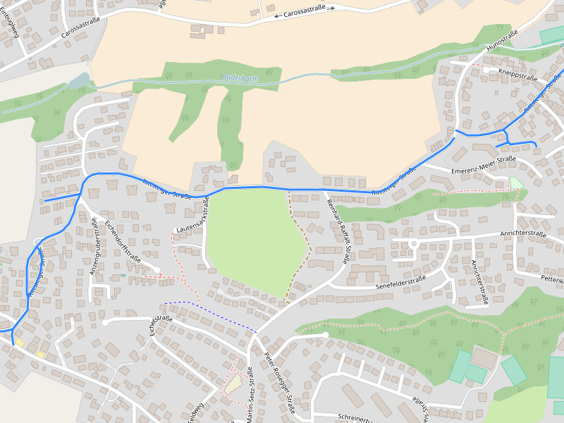
Completely marked street by mmd’s proof of concept 1 | © OpenStreetMap Contributors CC-BY-SA 2.0
Mapping
- Walter Nordmann analysed the extent of the improper tagging
landuse=farm, which has to be changed. His NoFarm-Map helps to discover such areas. - Version 0.9.9 of Vespucci is now available! Simon Poole shares the news along with some details.
- User Rogehm brings up
 the discussion about the already mapped
 building=conservatoryon the German forum. A OSM wikipage was created. - User dktue would like to map rescue guides. An internationally recognized tag is still being discussed, since these can be called “MRCC”, deviant from the proposed “ECC”, or different.
 the discussion about the already mapped
 Community
- In an interview to OpenCage Data, Vivien Deparday speaks about the state of OSM and its community in Sri Lanka – their current work and future plans.
- Ruben Lopez made an app to report the flooded streets in different regions of Peru, based on the one for Chennai.
- Taïs Grippa released a new statistic tool for mapathons and shows some examples of the last Belgian National Mapathon 2017.
- On the Talk mailing list, the Engineering Working Group asked what would be the most important thing to change. There are many suggestions made.
Imports
- Chetan Gowda shares updates about the San Francisco Building Height Import project. As they begin validation, he invites the community to join.
OpenStreetMap Foundation
- Simon Poole, head of the License Working Group of the OSMF, commented on our (fake) news of April 1st.
- Frederik Ramm reported the status of the preparations of FOSSGIS to become a OSMF local chapter. Christoph Hormann brought some important points into the conversation.
Events
- You can give your inputs on which sessions you would like to see at State of The Map 2017 through the community survey.
- The Costa Rican OSM community invites you to join them to map the bars in San José, as part of the Maperespeis activities. Beers not included 😉
- Resistance GIS, an upcoming free mini-conference at Portland State University, aims to explore how GIS, open data and its visualizations can empower communities, social movements and civil resistance struggles.
- Submit talk proposals and scholarship applications for the first ever State of the Map Africa at Uganda in July 2017.
Humanitarian OSM
- In order to be prepared for disasters, HOT in Indonesia teaches authorities and non-profit associations how to map with JOSM. A pilot project for risk assessment of threats, weaknesses and capacities is to be established in the regions of Barru and Wajo (South Sulawesi). (automatic translation)
- HOT calls for help to fight the malaria on the occasion of World Health Day on April 7th.
Software
- [1] User mmd writes a post showcasing a small proof of concept to demonstrate @jotpe’s proposal on GitHub.
Programming
- Mapzen presents a new, fast and accurate parser for address input.
- User daniel-j-h writes about Open Source Routing Machine (OSRM) supporting bearing constraints and highlights their use-cases and effects on routing.
Releases
| Software | Version | Release date | Comment |
|---|---|---|---|
| Osmium Tool | 1.6.1 | 2017-03-06 | Two changes and three fixes. |
| GpsMaster | 0.63.00 | 2017-04-06 | OpenCycleMap enhanced, OpenTopoMap added and more changes. |
| Komoot Android * | var | 2017-04-07 | Route planning and search reworked. |
| Komoot iOS * | 9.0.1 | 2017-04-07 | Improvement of performance and further small changes. |
| Mapbox GL JS | v0.35.0 | 2017-04-07 | Seven new features and 12 bugfixes. |
| Mapillary iOS * | 4.6.12 | 2017-04-07 | Changes for different cameras and a bug fixed. |
| QGIS | 2.18.6 | 2017-04-07 | No infos. |
| Mapillary Android * | 3.45 | 2017-04-08 | Don’t rotate the UX for left handed to fix the preview upside down problem. |
| Kurviger Free * | 10.0.19 | 2017-04-09 | Various improvements. |
| StreetComplete | 0.7 | 2017-04-09 | Fix of version 0.6 with the fixed changeset problem. |
| libosmium | 2.12.1 | 2017-04-10 | Many changes and bugfixes. Please read change log. |
| MapContrib | 1.7.3 | 2017-04-10 | Many changes since 1.6.1, please read release infos. |
| Maps.me Android * | var | 2017-04-10 | Changes to the GUI, more hotels, beaches, parking, cameras and WLAN hotspots added. |
| Maps.me iOS * | 7.2.3 | 2017-04-10 | 100,000 objects added. Incl. restaurants, shops and POI. |
| Locus Map Free * | 3.23.0 | 2017-10-04 | Many improvements, please read releaseinfo. |
Provided by the OSM Software Watchlist. Timestamp: 2017-04-10 15:08:55+02 UTC
(*) unfree software. See: freesoftware.
Did you know …
- … the tutorial to use Overpass queries in uMap?
OSM in the media
- In a YouTube video, The Crowd & The Cloud discuss the need of up-to-date maps for disaster relief, highlighting the great importance of OSM.
Other “geo” things
- The Indian government is trying to organize the agricultural assets of the country by better geotagging and mapping and would like to use the open data application Bhuvan.
- US president Donald Trump’s planned wall in the Mexico border would cut ecosystems and lead to irreversible damage to the already endangered flora and fauna in the region. The Vox report uses OSM-based maps.
Upcoming Events


Note: If you like to see your event here, please put it into the calendar. Only data which is there, will appear in weeklyOSM. Please check your event in our public calendar preview and correct it, where appropriate.
This weeklyOSM was produced by Peda, Polyglot, Rogehm, Spec80, SrrReal, derFred, jinalfoflia, vsandre, wambacher.