14/12/2021-20/12/2021
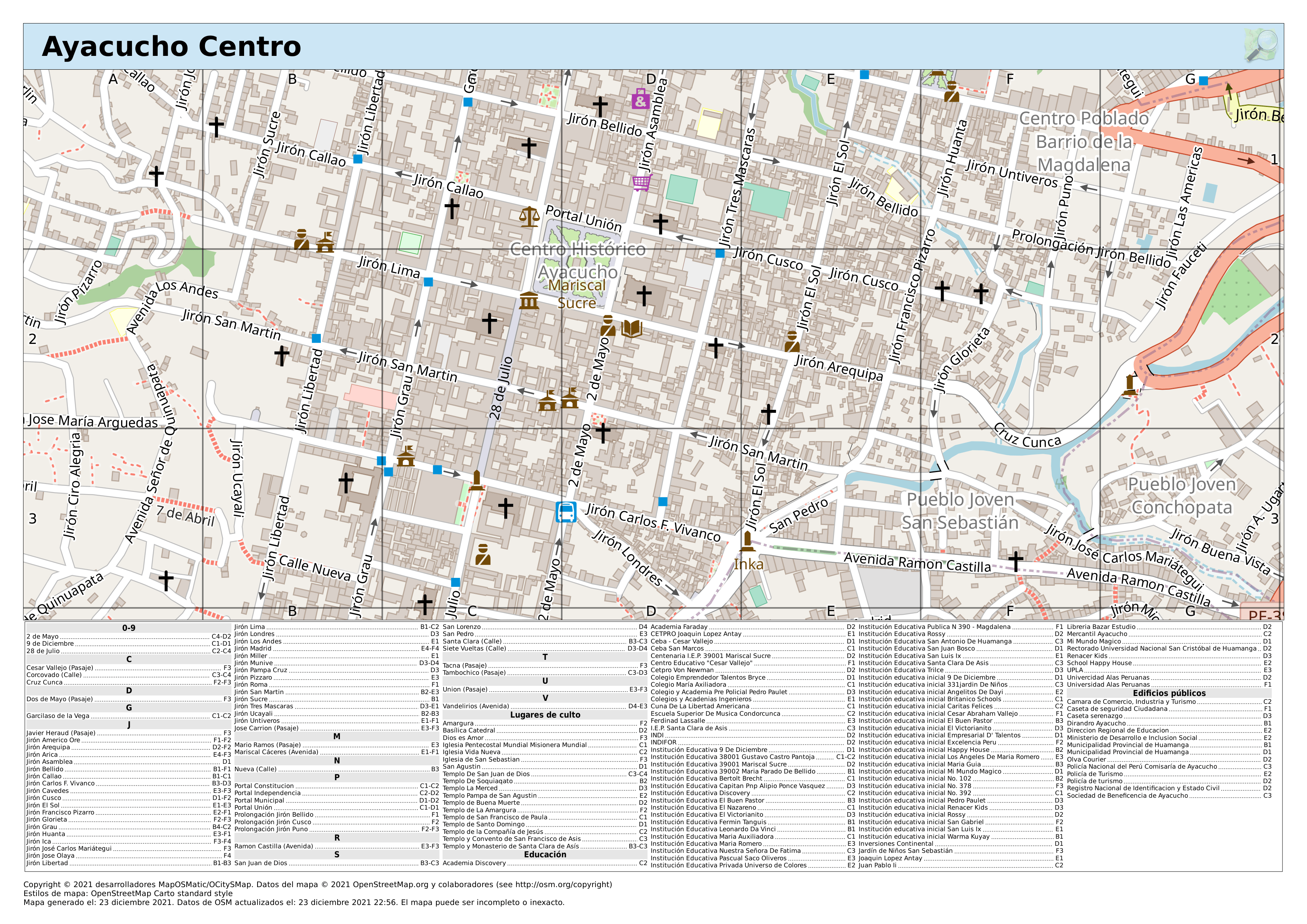
Create your own street map [1] | © MapOSMatic/OCitySMap-Entwickler | map data © OpenStreetMap contributors
Mapping
- PoliMappers tweeted a suggestion to take your mapping skills to another level with JOSM.
- Bo Percival reported on the results of an experiment carried out by HOT to compare traditional mapping with AI-assisted mapping (we reported earlier). They learnt that AI can assist and amplify the efforts of mappers to produce more map data. However, this comes with a condition: AI assistance amplifies the speed of map data creation, but does not significantly improve data quality (nor does it worsen it).
- Gonéo continued
 > their discussion on the workflow they are using to import Lyon (France) bicycle parking information.
 - Muluba, a contributor from Butembo, DRC, has published a diary entry about using the KoBo ToolBox to collect field data with a smartphone and transferring the data to OSM. He would like to discuss this subject with others.
- Requests have been made for comments on the following proposals:
water=reservoirto deprecatelanduse=reservoirandreservoir_type=*, and define reservoirs, lakes, and ponds.parking:lane:*andparking:condition:*=*for improving the tagging of on-street parking conditions.
 >
> 
Community
- Amanda McCann reported what she did in OpenStreetMap in November 2021 both as a mapper, and as a member of the OSMF Advisory Board and the Communication Working Group.
- French professor Cyrille Borne wrote > about Simon Weckert’s Google Maps traffic hack back in 2020 (we reported earlier) and the relationship between data, ethics and the physical world.
- Christoph Hormann announced that he will no longer participate in OSMF-hosted communication channels, citing his dissatisfaction with the Board’s intentions for the moderation of mailing lists.
- The city government of Tijuana, Mexico is interested in importing their building polygon data > .
- UN Mappers organised last week in Valencia (Spain) the Unite Maps Conference, a meeting with 60 representatives from UN peacekeeping and special political missions from all over the world. During the conference, UN Mappers along with other UN entities (IIEP-UNESCO, UNHCR, and the World Bank), speakers from humanitarian actors (Humanitarian OpenStreetMap Team, YouthMappers, Les Libres Géographes, and IFRC) and local communities (OSM Mali, OSM Somalia and OSM Democratic Republic of the Congo) presented the benefits of using OpenStreetMap in their activities and the positive impacts on communities.
 >
> OpenStreetMap Foundation
- Mateusz Konieczny answered his own question, from January 2021, by pointing to the wiki page which explains that the OSMF does not have any employees. A list of contractors hired by the OSMF is on their wiki.
Local chapter news
- OSGeo Oceania have published their annual report for 2020–2021. OSGeo Oceania’s OSM Special Interest Group is the Local Chapter of the OSMF in Oceania.
Events
- The call for speakers at the State of the Map US 2022 has been extended to Saturday 8 January.
Open Data
- What does > the rapid transit system of Karlsruhe (Germany) look like to wheelchair users? This is an updated visualisation, including new underground sections opened on 12 December, of the stops in Karlsruhe (and also the rest of the KVV transit authority area) that are accessible for wheelchair users. You can move the slider back and forth to compare.
 >
> Software
- Previously we reported that Marcelo Prates has developed Pretty Maps to render maps based on OSM data. A Chinese developer, Haoming Zhuang, was inspired by this tool and has developed pretty_gpd, which lets users of local geographic data draw similar style maps in a Python GeoDataFrame.
Did you know …
- … [1] MyOSMatic, an easy way to generate a map of a city (also with street index) from OSM data and download it in different data formats for free? Choose from 14 different menu language options after opening.
Other “geo” things
- Maxar shared satellite imagery of the Amazon warehouse in Edwardsville, Illinois before and after the recent tornado.
- Despite it appearing to have been lifted straight from the SotM Heidelberg map book, Julien Coupey tweeted that he was unable to resist the Plans de Villes calendar.
- @KartForData tweeted that Kart is now available as a QGIS plugin. You can now work with version controlled data directly within your desktop GIS – see your data history, commit incremental changes and create and merge branches.
- Ilya Zverev noted > the release of Natural Earth v5.0.0; a public domain map dataset available at a scale of 1:10,000,000 (and smaller).
 >
> Upcoming Events
| Where | What | Online | When | Country |
|---|---|---|---|---|
| Bremen | Bremer Mappertreffen (Online) | ✓ | 2021-12-27 |  |
| Budapest | OSM hour: summary of the year 2021 (online on BBB, Hungarian) | ✓ | 2021-12-28 |  |
| Düsseldorf | Düsseldorfer OSM-Treffen (online) | 2021-12-29 | | |
| London | Missing Maps London Mapathon | 2022-01-04 |  | |
| Berlin | OSM-Verkehrswende #31 (Online) | 2022-01-04 | | |
| Landau an der Isar | Virtuelles Niederbayern-Treffen | ✓ | 2022-01-04 | |
| Stuttgart | Stuttgarter Stammtisch (Online) | 2022-01-04 | | |
| 臺北市 | OpenStreetMap x Wikidata Taipei #36 | 2022-01-10 |  | |
| OSMF Engineering Working Group meeting | 2022-01-10 | |||
| Helechosa de los Montes | Reunión mensual de la comunidad española | 2022-01-11 |  | |
| Michigan | Michigan Meetup | ✓ | 2022-01-13 |  |
| Bochum | OSM-Treffen Bochum (Januar) ONLINE | 2022-01-13 | | |
| Berlin | 163. Berlin-Brandenburg OpenStreetMap Stammtisch | ✓ | 2022-01-13 | |
| Lyon | EPN des Rancy : Technique de cartographie et d’édition | 2022-01-15 |  |
Note:
If you like to see your event here, please put it into the OSM calendar. Only data which is there, will appear in weeklyOSM.
This weeklyOSM was produced by Nordpfeil, PierZen, SK53, Strubbl, TheSwavu, derFred, jcr83.