11/10/2015-11/16/2015
Mapping
Community
- The paper “Assessing the quality of OpenStreetMap data” Lindy-Anne Siebritz and George Sithole compare OSM with official Southafrican data.
- User capiscuas is reporting about his efforts in cleaning up the administrative boundaries in Jakarta.
- A mapping party was organised by Arun Ganesh in Bangalore. This event was the part of the osmgeoweek celebrations. On a drizzly Sunday morning, six people set out on foot scouring the by-lanes of Indiranagar. They were searching for three things to map, street lamps, trash-dumping areas and dustbins
- Jothirnadh decribes some problems with the data in his home town, Rajahmundry, Andhra Pradesh, India caused by image alignment and an import of medical facilities.
- Community around TeachOSM, MapStory und AmericanGeo are launching a first version of an #OpenStreetMap Surveyor badge at GeoBadges.org
- The Sozialhelden association and the World Health Organization (WHO) are launching the worldwide campaign MapMyDay on 3. December. With this campaign both groups call to chart the accessibility of public buildings on Wheelmap.
OpenStreetMap Foundation
- The itlaian local representation of the Wikimedia Foundation applies for becoming a Local Chapter of the OSMF.
- Every member of the OpenStreetMap foundation can candidate for becoming a board member. Candidates need to apply till November 21th, 16:00 UTC. All users can ask questions to candidates which are answered in the wiki.
Events
- A Flash Map Mob takes place in Sevilla, Spain on November 30th.
- IPIS Research and Openstreetmap Belgium invite for a Missing Maps Marathon on Dec. 9th 2015. This event will be focused on mapping data for Republic of the Congo.
- Wikimedia Italia is hosting the annual Italian OSM users event in Bologna, Italy on Saturday, November 21 and Sunday, November 22. For more information please visit here.
Humanitarian OSM
- HOT launches $50,000 crowdfunding campaign – donate today!
- Mapbox have formalised their crisis mapping participation in activations led by the Humanitarian OpenStreetMap Team (HOT). With guidance from HOT’s Activation Protocol they have created Mapbox Engagement Guidelines with HOT and have made them available online.
Maps
- Andy Allan introduces his new mapstyle “Spinal Map” in his Blog. It uses Metal-umlauts and is built by Richard Fairhurst on Andys request.
- Grant for Paul to improve Map …
- The Amadeu Antonio Foundation and PRO ASYL are keeping track of hostilities and demonstrations against refugees in a chronicle and visualize them on a map.
- Sorted Cities extracts buildings of a selected map section and orders them by size and relation to each other. The resulting outlines are presented as PNG.
- As the discussions for rendering tertiary roads continues, a new proposal for the same was made.
- The company Uncharted Software visualizes traffic between approx. 6500 relay servers of the Tor network on a map. If used appropriately, Tor allows to anonymously browse the web.
#switch2OSM
- The transport information system autobahn.NRW has been discontinued. It has been substituded by www.verkehr.nrw.de which is based on OSM.
Open Data
- Theres a diskussion about the quality of emergency access points in OSM in the forum. User DD1GJ compared the data in OSM to the KWF dataset and found many deviations. (Automatic translation)
Licences
- The European Court of Justice, who has been referenced in a lawsuit between the Free State of Bavaria and an Austrian map publisher, has ruled that non-digitized topographic maps are subject to ancillary copyright for databases.
Software
- User aarthy writes a diary about working on a remote control plugin that can help setup JOSM with everything a mapper requires to work a specific project that has special instructions. This allows mappers to directly concentrate on mapping rather than following setup instructions.
- User Tordanik reports (in German OSM sub forum) about the results from Google Summer of Code 2015, where user B4stis participated to achieve a better 3D rendering in OSM2World.
- Recently, the website of Vespucci at vespucci.io (the well known OSM editor for Android devices) has got an overhaul, also in documentation.
- User Visaman asks about a way for implementing APRS in OSM-based navigation software to use in an own type of hardware.
- Tim Wisniewski announces his new Choroplethen map Plugin for LeafletJS on Twitter.
- Bjørn Sandvik writes about mapping grid-based statistics, with the help from openlayers and other javascript tools.
- Due to popular demand, the developers of Mapsforge ( an offline map display framework for Android and Java) published a detailed guide regarding map creation with proper coastline support.
- Paul Norman summarizes the complexity of the OSM Carto Mapstyle in his blog by giving facts and numbers.
- SK53 describes how he creates a dataset of populated areas from OpenStreetMap data in his blog. Since
landuse=residential/commercial/...is not widely used, he used the network of residential roads. He tested his method in several regions — also in the US (due to the TIGER import).
Alternative approaches are discussed in later blogs here and here. - Releases
Software Version Release Date Comment OpenLayers 3.11.1 2015-11-12 Highlight of version 3.11 is
support of Mapbox vector tiles.Atlas 1.1.18 2015-11-13
Did you know …
- … Graphhopper with height profile and heights directly in the map?
- …the Nebelkarte (foggy map) for Switzerland. See on the right a slider for adjusting the height.
- Latitude 0, longitude 0 (known as “null island“) has always been the target of misplaced JOSM imports. However, now they’ve got competition – there’s a genuine OpenStreetMap feature there! It even has its own web page.
- MapOnShirt is another Crowdfundingprojekt which offers stunning clothes with a design from maps. Difference to other projects, the user can freely choose the map section.
- Wikipedia keeps record of the abominable acts of terror which took place in Paris on 13. November und visualises the locations on a map.
Other “geo” things
- The Knight Foundation awards 20 new projects with 35.000$ each, als containing projects in the area of OpenStreetMap. (It was also the Knight Foundation that supported the development of iD back in 2013).
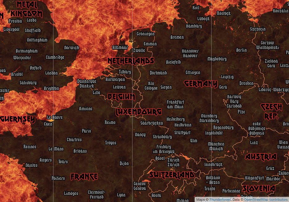
- A map is worth a thousand words.
- QGIS (previously known as “Quantum GIS”) is a cross-platform free and open-source desktop geographic information system (GIS) application that provides data viewing, editing, and analysis.They now have a flickr group where they have displayed the creations of the users.
- Google Maps Insider
- Info and teaching about satell…
- map-disputes
- Maps.me got awarded in Russia.

- A man disappears without a trace after being in a pub with a friend. After nine years his remainings have been discovered in his car which has been found by chance in a nearby pond. On a Google Maps satellite image the car is visible for years.

weeklyOSM is brought to you by …
Ouch – the Graphopper example. Very nice interface, indeed. I actually drove this exact route [1]. The proposed route makes you lose an hour or two here [2]. That’s a tagging issue: the road to the west is much faster as it is full two lanes and much less bendy. But Peru tags all national roads as trunk, regardless of the quality of the road.
Then you lose a couple more hours here [3] as the routing proposes to take an unpaved little dirt road instead of staying on the paved trunk road. (I took the unpaved one as the main road was closed for construction at the time)
And that is probably why we see “tagging for the router” maxspeed misuse [4].
[1] http://umap.openstreetmap.fr/nl/map/verlengd-weekend_8367#10/-13.5065/-73.3440
[2] https://graphhopper.com/maps/?point=-13.163068%2C-74.22226&point=-13.304103%2C-72.125244&locale=de-DE&vehicle=car&weighting=fastest&elevation=true&layer=Lyrk
[3] https://graphhopper.com/maps/?point=-13.163068%2C-74.22226&point=-13.304103%2C-72.125244&locale=de-DE&vehicle=car&weighting=fastest&elevation=true&layer=Lyrk
[4] https://help.openstreetmap.org/questions/45368/maxspeed-tagging-for-the-router