12/13/2016-12/19/2016
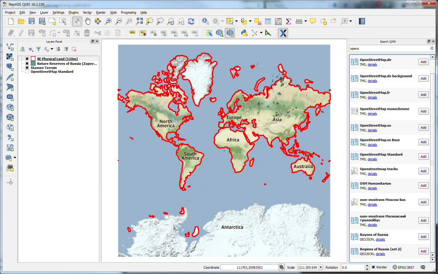
QuickMapServices – catalog, API and clients for over 200 geoservices with dozens based on OpenStreetMap data. 1
About us
- FYI: – Why the German team were thinking about reducing their contribution to weeklyOSM. Read here why the German team continues.
 (automatic translation)
Mapping
- TagaSanPedroAko asks for comments on his power pole extension proposal which will increase the detail of tagging of power poles to include design, material, function and more.
- The proposal for power switching extensions which increased the tagging detail for power switches (previously mentioned here) was adopted after a successful vote.
- Voting closed and the proposed features to map (pizza) ovens and bakehouses (communal ones often found in France) were approved. The already mentioned tagging scheme for man-made nesting sites was also approved.
- Martijn van Exel asks mappers to give ImproveOSM a(nother) try, as Telenav and INRIX have recently added almost 1 million new tiles that might contain missing streets.
Community
- OpenStreetMap US conducts a census of the US OSM members. The results up to now can be seen on a heat map.
- The videos of this year’s SotM Latam are now available. Besides many interesting Spanish and Portuguese talks there are also three in the English language.
- Michael Reichert discusses cleaning up the deprecated and unused rooms and services from OpenStreetMap Wiki’s contact channels page.
OpenStreetMap Foundation
- We congratulate Frederik Ramm and Kate Chapman on their re-election to the OSMF board. If you weren’t able to vote please consider joining the OSMF now!
Events
- An international workshop on crowdsourcing in “National Mapping” will be held in Leuven, Belgium on April 3rd and 4th, 2017. The workshop is sponsored by EuroSDR, a not-for-profit organisation linking National Mapping and Cadastral Agencies (NMCAs) with research institutes and universities in Europe. Participation from the OpenStreetMap Community is greatly encouraged. Registration is free.
- You can now submit proposals for SotM Latam 2017.
Humanitarian OSM
- FT features Missing Maps and HOT and their involvement with Doctors Without Borders as part of its seasonal appeal series.
- Mapbox supports the HOT donation drive with a generous incentive: if 150 people donate within the next 12 days, Mapbox will donate US$10,000!
- HOT’s involvement and assistance with the recent earthquake in Aceh is noted by Jakarta Globe.
- Africa Times follows up FT’s coverage of Missing Maps with an article detailing their involvement in Africa, as well as MapSwipe.
- HOT hosted a workshop in Suva, Fiji that trained 25 participants on how to use tools such as the iD editor and OpenMapKit. Overall, the workshop was a success, with Mhairi O’Hara reporting that “participants were fully engaged and picked up techniques quickly.”
Programming
- Based on OsmSharp, the multi-platform opensource routing library Itinero has its own page in the OSM wiki now.
- Sputnik Search Portal releases its open source editor of vector styles for interactive maps. The MVT Styler uses the Mapbox GL Style specification.
- Paul Norman presents OSMBorder that extracts and transforms administrative boundaries. He developed it for Wikimedia, so also controversial borders in the Wikipedia maps can be displayed. He hopes for more interest in the data and asks for feedback.
Releases
Vladimir Elistratov (vvoovv) has released a new version of his OSM 3D Blender plugin . The plugin is now liable for costs, although the source code is still available.
| Software | Version | Release date | Comment |
|---|---|---|---|
| PostGIS | 2.3.1 | 2016-11-26 | Many changes. Please read release infos. |
| Mapzen Lost | 2.1.2 | 2016-12-08 | Five bugs fixed. |
| Komoot Android * | var | 2016-12-14 | Minor enhancements. |
| Cruiser for Android * | 1.4.15 | 2016-12-15 | Various improvements. |
| Cruiser for Desktop * | 1.2.15 | 2016-12-15 | Offline Routing. |
| Mapillary iOS * | 4.5.10 | 2016-12-15 | Compass fix for editor. |
| Maps.me Android * | var | 2016-12-16 | Bug fixes and new map data. |
| osm2pgsql ? | 0.92.0 | 2016-12-16 | Many changes, please read release info. |
| OSRM Backend | 5.5.1 | 2016-12-16 | Bugfixes of just released 5.5.0. |
| QGIS | 2.18.2 | 2016-12-16 | No info. |
| QMapShack Lin/Mac/Win | 1.7.2 | 2016-12-16 | No info. |
Provided by the OSM Software Watchlist.
(*) unfree software. See: freesoftware.
Did you know …
- … the app Transportr, which is open source and respects your privacy? The app continues to grow and the supported cities and countries are increasing.
- … the global light map of the University of Heidelberg? Here an example of London.
- … the German test track
 on a public motorway will be equipped with special traffic signs for self driving cars to measure their exact position. (automatic translation)
 - … the still quite new company KreateLabs by Bradon Levalds, which produces acrylic maps from OSM data?
OSM in the media
- The Register reports about OpenStreetCam as an alternative to Google Street View.
Other “geo” things
- On December 12th the European satellite navigation system Galileo has begun operating.
- The New York Times reported on a research project, in which Italian researchers investigated the change of larger waters. The article contains some impressive animations. OSM data was also used.
- A research project by Pierre L. Ibisch at the Eberswalde College of Sustainable Development shows the connections of the road network with an unbelievable 36 million kilometers to the number of the resulting areas (600,000), which are left to nature, using a worldwide map (OSM-based) In order to develop sustainably. Conclusion: A global strategy is needed to adapt nature’s infrastructure. Read the stories in English in National Geograhic and in The Conversation.
- Eight italian schools answer to a call for proposals for “digital curriculums” from the Ministry of Education with a project that would make use of open data about school buildings and OSM to teach and improve the students digital skills. (automatic translation)
- QuickMapServices (QMS) is a geoservices catalog with public API that hosts over 200 TMS, WMS, WFS and GeoJSON services. QMS is already integrated with QGIS, NextGIS Mobile and ArcGIS. The catalog is open for participation where anyone can add a service after simple registration and easy form. After that, this service immediately becomes available in client software.
- SPON reports (automatic translation) about picture books produced more than 100 years ago that were supposed to help you navigate your car. Humorously they write about a “Predecessor to Google Street View”.
 to a call for proposals for “digital curriculums” from the Ministry of Education with a project that would make use of open data about school buildings and OSM to teach and improve the students digital skills. (automatic
 Upcoming Events
| Where | What | When | Country |
|---|---|---|---|
| Lyon | Rencontre mensuelle mappeurs | 10.01.2017 |  |
| Nantes | Rencontres mensuelles | 10.01.2017 | |
| Berlin | 103. Berlin-Brandenburg Stammtisch | 12.01.2017 |  |
| Ulloa | 1er encuentro comunidad OSMCo | 13.01.2017-15.01.2017 |  |
| Brussels | Brussels Meetup | 16.01.2017 |  |
| Essen | Stammtisch | 16.01.2017 | |
| Metro Manila | 【MapAm re】OSM Workshop Series 7/8, San Juan re】OSM Workshop Series 7/8, San Juan | 16.01.2017 |  |
| Osnabrück | Stammtisch / OSM Treffen | 18.01.2017 | |
| Karlsruhe | Stammtisch | 18.01.2017 | |
| Leoben | Stammtisch Obersteiermark | 19.01.2017 |  |
| Urspring | Stammtisch Ulmer Alb | 19.01.2017 | |
| Tokyo | 東京!街歩き!マッピングパーティ:第4回 根津神社 | 21.01.2017 |  |
Note: If you like to see your event here, please put it into the calendar. Only data which is there, will appear in weeklyOSM. Please check your event in our public calendar preview and correct it, where appropiate..
This weeklyOSM was produced by JoshuaKGarner, Laura Barroso, Peda, Rogehm, Sadless74, Softgrow, Spec80, YoViajo, derFred, jcoupey, jinalfoflia, keithonearth, sabas88, vsandre.