10/05/2022-16/05/2022
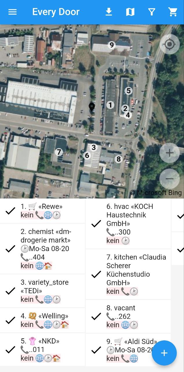
Every Door – The New Mobile Editor [1] Ilya Zverev | map data © OpenStreetMap contributors
Breaking news
- The next OSMF board meeting will be on this Monday 23 May 2022, at 13:00 UTC. Information about the video conference and the agenda (including moderation of the talk@ & osmf-talk@ lists and SOTM 2022) are available here.The agenda for the meeting is:
- Treasurer’s report
- Decision on the acceptance of the statutes of the Fundraising Committee
- Test of the change in moderation of the talk@ and osmf-talk@ lists
- State of the Map 2022 – Board preparations
- Advisory Board – monthly update
- Monthly presentation – OSM Austria
- Comments or questions from guests.
Mapping campaigns
- ’12 Months of OpenStreetMap’, a OpenStreetMap US initiative, is inviting mappers to participate in the May 2022 theme of sustainable transportation – for example, bus stops, bike boxes, parking and rental stations for bicycles and scooters.
Mapping
- danielmescheder published
 the first article in a series of five discussing the features distinguishing maps from general data processing challenges. The first feature is titled ‘Relations’.
 - OpenStreetMap Belgium and Flanders’ official tourism administration and provincial tourism organisations launched a collaborative project called Pin je punt > aiming to spotlight points of interest for tourists. Pieter Vander Vennet, from OSM Belgium, and Jos Pyck, the project manager for Pin je Punt at Visit Flanders, reflected on the overall project.
- In a first post, SLMapper wrote about the challenges of aerial mapping of forests, especially on lands used for wood production.
- In ruriyuri’s diary > , she said that she was recently trying to add some tags in Taipei to record etymological information on OSM elements and gave a sample changeset with corresponding OverpassQL code. She also said that she was puzzled because she could not find Wikidata entries for commonly used Taiwan road names such as the Four Cardinal Principles and Eight Virtues (信義/忠孝/仁愛/和平).
 the first article in a series of five discussing the features distinguishing maps from general data processing challenges. The first feature is titled ‘Relations’.
 >
> 
 >
> Community
- On Thursday 21 April, Sawan Shariar contributed the 120,000,000th OpenStreetMap changeset, in Dhaka, Bangladesh.
- Amanda McCann told us what she did in OSM in April 2022.
- Allison P wrote a diary entry about the relationship between privacy and mapping. While aiming to be detailed, OpenStreetMap has been and will continue to confront people having opposing opinions about data on privacy grounds.
- BudgieInWA reported their reflections after hosting the third ‘Social Mapping Sunday’ in Perth, Australia.
- Cristoffs, from the Polish OSM community, asked OSMF board members and working group members about the state of democracy in the creation of the basic map style, and for suggestions on how it could evolve.
- User Natfoot, from Washington State, described in his blog his various activities in and with OSM.
Local chapter news
- OpenStreetMap US announced the creation of the TeachOSM Steering Committee, whose activities will be aimed at promoting the classroom use of OSM.
Events
- Join Wikimedia’s annual hackathon (20 to 22 May) which this year has a map-focused track hosted by the Wikimaps User Group, which aims to advocate for more geospatial capabilities on the Wikimedia platforms (Wikipedia, Wikidata, etc.) as well as improved integration with OpenStreetMap.
Education
- A landscape design media channel has re-posted, to Zhihu Video, its instructional video about how to use OSM data to create a district analysis map.
 about how to use OSM data to create a district analysis map.
OSM research
- Anaïs Ladoy PhD, from the EPFL’s Laboratoire de systèmes d’information géographique, explained > how she favoured open-source alternatives to closed solutions during her thesis, including using OpenStreetMap as an address database.
- Aliaksandr described the development of an AI assistant for the mapping of yurts in Ulaanbaatar. The whole process took 77 hours whereas the estimated time without assistance would’ve been closer to 625 hours.
 >
> Maps
- Mieux se Déplacer à Bicyclette published > information about this year’s la Convergence Francilienne, an event where cyclists from all the Ile-de-France region group together and cycle to a meeting point. The numerous starting points are colour coded into six branches and can be browsed under uMap.
Software
- Cempatin, an OSM-based micro-blogging platform, has been released in Indonesia.
- The OSMViews website provides world-wide ranking of geographic locations based on OpenStreetMap tile logs (source: https://planet.openstreetmap.org/tile_logs/). It can be used for many purposes where ranking or prioritisation could improve functionality, such as label placement or monitoring. It is updated weekly and aggregated over the last 52 weeks to smooth out seasonal effects (for any location on Earth, up to ~150m/z18 resolution).
- Haukauntrie / wielandb has made a video about StreetComplete, which has been transcribed. A script was used to fetch the number of quests resolved for 5284 users between October 2021 and March 2022, revealing around 100 power users accounting for 30% of contributions.
 a video about
 Programming
- Anton Khorev, developer of osm-note-viewer, explained the implementation of Leaflet’s pop-ups in his app whilst also accounting for any required map scrolling movements.
- The French national railway company is developping > a mobile app designed to help guide travellers through stations. To do so, they use a picture database linked to OpenStreetMap data.
Releases
- Ilya Zverik released a new mobile OSM editor Every Door, which is available for Android and iOS.
Did you know …
- … MapCarta? A simple browser map viewer aggregating data from OpenStreetMap, Wikidata, GeoNames, Wikimedia Commons, Wikipedia, Wikivoyage and OpenRouteService.
OSM in the media
- Randall Munroe (XKCD) thinks ‘OpenStreetMap was always pretty good, but is now “really” good’. Check out the alt-text on his recent cartoon ‘Maps’.
Other “geo” things
- Francois Valentin tweeted a series of interesting figures overlaying old historic maps on modern political maps. On HackerNews, more examples were discussed.
- Andrew Hart, from DentReality, posted a video showcasing the indoor navigation technology they built in a store, with map and augmented reality integration.
- Vox reported on their investigation into a puzzle from a year old Reddit post, about circles visible in the Sahara (location in OpenStreetMap and in Google Maps). The conclusion is that they are remnants from a seismic survey by a French oil company back in the 1950s.
Upcoming Events
| Where | What | Online | When | Country |
|---|---|---|---|---|
| Montmorillon | Printemps des Cartes | 2022-05-19 – 2022-05-22 |  | |
| Mapathon: United Nations for Libya | 2022-05-20 – 2022-05-22 | |||
| Kaskazini B | Tanzania Mapping Groups May Mapathon | ✓ | 2022-05-21 |  |
| 京都市 | 京都!街歩き!マッピングパーティ:第30回 相国寺 | 2022-05-22 |  | |
| 臺北市 | OpenStreetMap街景踏查團工作坊2 | 2022-05-22 |  | |
| [Online] OpenStreetMap Foundation board of Directors – public videomeeting | 2022-05-23 | |||
| Deutsches Rotes Kreuz – Mozambique Red Cross Online Beginner Mapathon | 2022-05-23 | |||
| OSMF Engineering Working Group meeting | 2022-05-23 | |||
| Bremen | Bremer Mappertreffen (Online) | ✓ | 2022-05-23 |  |
| San Jose | South Bay Map Night | ✓ | 2022-05-25 |  |
| City of Nottingham | OSM East Midlands/Nottingham meetup (online) | ✓ | 2022-05-24 |  |
| Düsseldorf | Düsseldorfer OpenStreetMap-Treffen | ✓ | 2022-05-25 | |
| Decatur County | OpenStreetMap US Mappy Hour | ✓ | 2022-05-26 | |
| IJmuiden | OSM Nederland bijeenkomst (online) | ✓ | 2022-05-28 |  |
| Santiago | 3a reunión bimestral de OSM Latam | 2022-05-28 |  | |
| Unique Mappers May Mapathon : Let’s Map Aguata LGA for Social Good | 2022-05-28 | |||
| Town of Victoria Park | Social Mapping Sunday: East Vic Park | 2022-05-29 |  | |
| Bari | OpenStreetMap in Puglia | 2022-06-01 |  | |
| Anderlecht | Notes Mapathon & Meetup | 2022-06-01 |  | |
| San Jose | South Bay Map Night | ✓ | 2022-06-08 | |
| City of Westminster | Missing Maps London Mapathon | 2022-06-07 | | |
| Salt Lake City | OSM Utah Monthly Meetup | 2022-06-09 | | |
| Großarl | 5. Virtueller OpenStreetMap Stammtisch Österreich | 2022-06-08 |  | |
| München | Münchner OSM-Treffen | 2022-06-09 | | |
| Nantes | State of the Map France 2022 | 2022-06-10 – 2022-06-12 | | |
| Brandenburg | 168. Berlin-Brandenburg OpenStreetMap Stammtisch | 2022-06-10 | |
Note:
If you like to see your event here, please put it into the OSM calendar. Only data which is there, will appear in weeklyOSM.
This weeklyOSM was produced by Elizabete, Lejun, MatthiasMatthias, Nordpfeil, PierZen, SK53, Strubbl, TheSwavu, YoViajo, derFred, 快乐的老鼠宝宝.