09/01/2018-15/01/2018
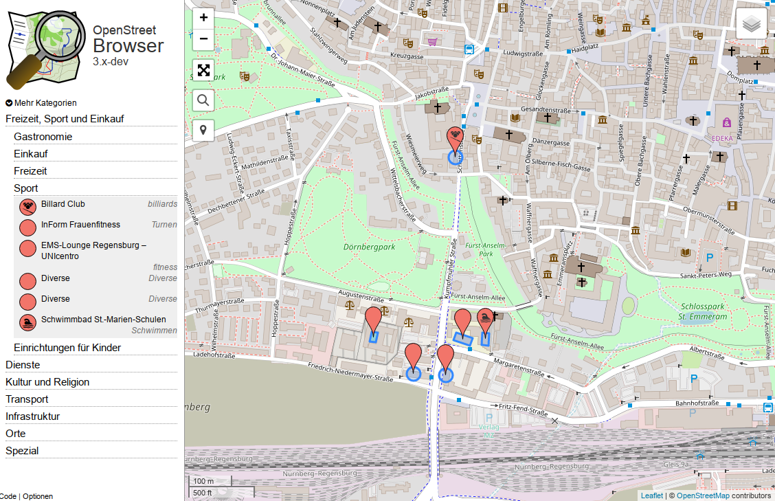
An updated version of the OpenStreetBrowser is now online again 1 | © OpenStreetMap Contributors CC-BY-SA 2.0
Mapping
- Curtis Melvin of 38 North states that he believes their work has been plagiarised by OSM editors in North Korea.
- Javier Sánchez Portero would like to have a tool to filter out objects that have been added at a certain time, with a certain tag, in a certain area. Overpass API was suggested multiple times, which at least partly meets his expectations.
- Stefan Nagy starts a discussion on the Talk-AT mailing list about short-term parking zones in Vienna. This then continued on the tagging mailing list.
- Fernando Trebien asks on the Tagging mailing list for a method for capturing Portuguese pavements, which consists of small stone tiles embedded in a matrix, rather like mosaics.
- A user reports on reddit that the latest updates to ESRI World Imagery are not as clear as previous versions. There is a thread on a similar theme in the forum.
- Pieter Vander Vennet explains in his user diary how he maps the different types of cobblestone/sett pavement in Bruges, Belgium.
- Wille Marcel shares a diary about the latest updates and enhancements to OSMCha.
Community
- On the talk mailing list, Michael Reichert raises the question to what extent change record discussion comments can be created automatically. He also criticizes the new review feature of OSMCha.
- Pieter Vander Vennet is the Mapper of the Month January 2018. He got to know about OSM a few years ago, when a fellow student introduced him to OsmAnd. His first edit was a ski slope in Austria, while his current focus is on cycleways. He maps both on-site and at home with a combination of OsmAnd, StreetComplete, JOSM and iD. The full interview is available on the osm.be blog, don’t miss it!
- Randy Meech, founder & CEO, offers his personal thoughts about the closure of Mapzen, and the philosophy behind its business strategy.
- Joost Schouppe announces the creation of OSM-Science mailing list, that aims to talk about recent scientific research, develop the OSM research agenda and get feedback and support on your planned OSM surveys. The list is the follow-up to the OSM-science-communication project, initiated by Peter Mooney, Frank Ostermann and Joost himself.
Imports
- The release of speed limits on railways seems to make good progress in the United Kingdom. There is also a discussion on the Import mailing list.
OpenStreetMap Foundation
- Pineapple Fund, the foundation of an unknown Bitcoin owner, donated 18 Bitcoin (about 200,000 Euro) to OSMF on January 10, 2018. This is approximately 1.5 times the annual turnover of the OSMF. For more information, see Reddit and the OSM Blog.
- The OSM Board plans to extend the contract of its administrative assistant, Dorothea, for another year.
- The next OSMF Board Meeting, the first since the AGM, took place on Thursday 18th January. The agenda and draft minutes from the November meeting are now available.
- The Engineering Working Group of the OSM Foundation held a meeting on January, 15th, centered on the participation to Google Summer of Code 2018.
Events
- FOSSGIS Konferenz 2018 in Bonn, Germany. The annual German language conference is always organized by FOSSGIS e.V., the OSM Community and a local team. Date: March 21st – March 24th.
- Proposals for sessions – that is: talks, lectures and workshops – for the International State of the Map in Milan (28-30 July) received are now invited. The closing date for submissions is 18th February.
- OpenStreetMap US seeks proposals for the SotM-US conference in 2018 and 2019.
Humanitarian OSM
- HOT supports five projects of the Turkish community with laptops and smartphones from a “device grant” by Nethope. An example of the community’s activities are provided through the experiences of field mapping by 17-year-old Leila, a refugee from Syria.
Maps
- [1] Stephan Bösch-Plepelits announces that Openstreetbrowser is back online. He asks for help with creating additional categories of interest.
- Holiday flats (
tourism=apartment) becoming increasingly popular not only in Europe. With more than 14k objects in the database they deserve to be rendered in osm-carto. What’s missing is a convincing icon. Any ideas or contributions are welcome. - A research group in Oxford, England have calculated travel times to major cities across the world using Google Earth Engine and OpenStreetMap data. Galleries of maps for various places have been published by The Guardian and Spiegel-online.
Owen Boswarva notices that this dataset is released under CC-BY 4.0. He asks if this has a special licence waiver. The topic is further discussed on the legal-talk list.
Open Data
- Budget pressures may force the US Department of Agriculture to charge for use of the National Agricultural Imagery Programme. Mapbox explain on their blog why this is a bad idea.
Programming
- OSM Operations team prepares the change to “HTTPS-by-default”, and asks all developers to test their OAuth integration against the preview site.
- Paul Norman asks on the mailing list dev about the size of metatiles.
- Mapbox would like to persuade former Mapzen customers to become Unity users.
Other “geo” things
- The Mapbox office in Washington DC will be moving to a new location.
Upcoming Events
| Where | What | When | Country |
|---|---|---|---|
| Moscow | January Meeting | 2018-01-21 |  |
| Bremen | Bremer Mappertreffen | 2018-01-22 |  |
| Nottingham | Pub Meetup | 2018-01-23 |  |
| Viersen | OSM Stammtisch Viersen | 2018-01-23 | |
| Urspring | Stammtisch Ulmer Alb | 2018-01-25 | |
| Lübeck | Lübecker Mappertreffen | 2018-01-25 | |
| Essen | Mappertreffen | 2018-01-28 | |
| Dusseldorf | Stammtisch | 2018-01-31 | |
| Dresden | Stammtisch Dresden | 2018-02-01 | |
| Rome | FOSS4G-IT 2018 | 2018-02-19-2018-02-22 |  |
| Cologne Bonn Airport | FOSSGIS 2018 | 2018-03-21-2018-03-24 | |
| Turin | MERGE-it | 2018-03-23-2018-03-24 | |
| Poznań | State of the Map Poland 2018 | 2018-04-13-2018-04-14 |  |
| Disneyland Paris Marne/Chessy Railway Station | FOSS4G-fr 2018 | 2018-05-15-2018-05-17 |  |
| Bordeaux | State of the Map France 2018 | 2018-06-01-2018-06-03 | |
| Milan | State of the Map 2018 (international conference) | 2018-07-28-2018-07-30 | |
| Dar es Salaam | FOSS4G 2018 | 2018-08-29-2018-08-31 |  |
| Bengaluru | State of the Map Asia 2018 (effective date to confirm) | 2018-10-01-2018-10-31 |  |
Note: If you like to see your event here, please put it into the calendar. Only data which is there, will appear in weeklyOSM. Please check your event in our public calendar preview and correct it, where appropriate.
This weeklyOSM was produced by Anne Ghisla, Nakaner, Peda, Polyglot, SK53, SeleneYang, Spec80, derFred, jinalfoflia, sev_osm.