1/5/2016-1/11/2016

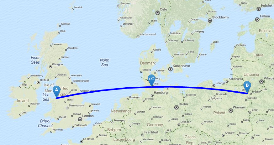
Shortest way from Dyserth, Wales to Kamienna-Stara 1
Mapping
- Osmose was released in mid-December for Australia. Andrew Davidson notes that the most common mistake is « approximate waterway ».
- Hakuch proposes to remove the tagging of name_1 and alt_name_1 from the wiki.
- The Belgian-Dutch border might change this year. There is already a discussion on this change in this note.
- Take part in the MapRoulette Challenge which is about checking if there’s a pedestrian street crossing (crosswalk) or not. This verification goes on until it’s all done.
- This site evaluates the number of POI’s for a given city.
- Votings on proposals:
topic link end date amenity=swimming_poolversusleisure=swimming_poolvote 2016-01-22 location:transitionvote 2016-01-23 leisure=aquatics_centrevote 2016-01-22
Community
- Bruno Veyckemans proposes to start Quarterly projects in Belgium.
- Miguel Garcia from the Spanish blog Culturatorium, which deals with art, technology and culture in general, has portrayed Manuel Torío and his activities in OSM.
- OpenCageData interviews Kokou Elolo Amegayibo (and others) about OpenStreetMap in Togo (West Africa)
- Paul Norman identified the total number of currently active Mappers from 2007 to the end of 2015 and displays these as a graphic in his blog. One can clearly see a constant increase with seaonal fluctuations.
- Andy Allan shares his thoughts about OpenStreetMap as a global infrastructure in the Gravitystorm blog.
- As the old saying goes, a picture is worth a thousand words. A video however is much better than a picture! OpenStreetMap in 3D Video!
- Richard Fairhurst proposes to close the newbies mailing list, on which in the last three months nothing was posted.
OpenStreetMap Foundation
- Steve Coast resigned from his position as honorary Chairman of the OSMF.
Events
- The call for locations for State of the Map US 2016 is open.
Humanitarian OSM
- Santiago La Rotte published in the Colombian magazine « El Espectador » an article entitled « Discover what digital maps can serve. »He describes the situation after the avalanche of Salgar of 18 May 2015. (automatic translation)
- Nice Video about how to host an OSM mapathon available also in the HOTOSM channel.
Maps
- The OpenRailwayMap Blog reports that Austrian main semaphore signals and speed light signals have been rendered for a few weeks.
- The developer of Luna Render (announced in one of the recent weeklyOSM reports) now presented a map style related to old Soviet military maps.
- Alexander Matheisen reports at talk mailing list that OpenLinkMap will be shut down on January 27. A successor and maintainer is very welcome. The code is on github.
- You can’t be everybody’s darling. Nevertheless Google tries it with GoogleMaps, if it comes to China.
switch2OSM
- Carnaval is very important in Germany, especially in Cologne. The city of Cologne published a special/temporary map for the so called 5th season. 😉
- On the OSM wiki: A collection of Dutch applications with OSM data or maps.
Software
- Thanks to OpenStreetMap and beautiful Overpass API you now can get all information for a particular point with the brand-new QGIS plugin. OSMInfo shows information about objects from OpenStreetMap using Overpass API.
- Vectiler is a OSM vector tile obj builder and exporter with ambiant occlusion baking
- Releases
Software Version Release Date Comment Mapillary for Android 1.70 2015-12-18 Bug fixes Locus Map Free 3.14.2 2016-01-05 Minor extensions iD 1.8.4 2016-01-06 20+ enhancements and new presets PostGIS 2.2.1 2016-01-06 Focus is on bugs, breakages, and performance issues. Esp. Topology SQLite 3.10.0 2016-01-06 Enhancements and performance optimizations JOSM 9329 2016-01-07 Improvements to partial fill areas, corrections in presets and others Mapillary for iOs 4.1.2 2016-01-07 Bug fixes PostgreSQL 9.5.0 2016-01-07 UPSERT, Row Level Security, Big Data Features
Programming
- Michael Markieta describes in Cartograhic Perspectives how to install PostGIS and QGIS and OSM data can be used on the Mac.
- Dgoodayle published screenshots of his Unity3d test code. He generated from OpenStreetMap data City models to render in real time, which he wants to use for a game development.
Did you know …
- [1] … geo.javawa.nl on-line tools for measurements on maps?
- … JaVaWa GPS tools – many other useful tools?
- … Map.meurisse for measuring lengths of paths.
- … OSM in the social news aggregator reddit.
Other “geo” things
- 27 hilariously bad maps that explain nothing.
- Google maps is forcing routebuilder to shutdown, or not?
- Aric Toler has published a guide about the secrets of geolocation.
- Plans for the geoscience revolution: Rob Rose, the new director of William & Mary’s Center for Geospatial Analysis, talks about his plans to increase the scope of GIS skills and concepts throughout the university.
- Unhappy new year for Coca-Cola as it upsets first Russia, then Ukraine.
Upcoming Events
| Dónde | Qué | Fecha | País |
|---|---|---|---|
| London | London pub meet-up | 12/01/2016 | UK |
| Lyon | Rencontre mensuelle mappeurs | 12/01/2016 | France |
| Grenoble | Rencontre mensuelle mappeurs | 14/01/2016 | France |
| Serata OpenStreetMap A Pergine Valsugana | 15/01/2016 | Italy | |
| Mapping Party palazzi dell’antico distretto minerario a Pergine Valsugana | 16/01/2016 | Italy | |
| Seattle | Missing Maps Mapathon | 17/01/2016 | US |
| Nottingham | Nottingham | 19/01/2016 | England |
| Leoben | Stammtisch Obersteiermark | 21/01/2016 | Austria |
| Gent | Missing Maps Mapathon | 23/01/2016 | Belgium |
| Manila | OSM Mapathon by #MapPHL | 23/01/2016 | Philippines |
| Graz | Stammtisch Graz | 25/01/2016 | Austria |
| Rennes | Rencontres mensuelles | 25/01/2016 | France |
| Brussels | FOSDEM Conference, Brussels | 30/01/2016-31/01/2016 | Belgium |
Note: If you like to see your event here, please put it into the calendar. Only data which is there, will appear in weeklyOSM. Please don’t forget to mention the city and the country in the calendar.
This weekly was produced by Nakaner, Rogehm, bogzab, derFred, escada, jinalfoflia, mgehling, stephan75, wambacher.