23/07/2019-29/07/2019
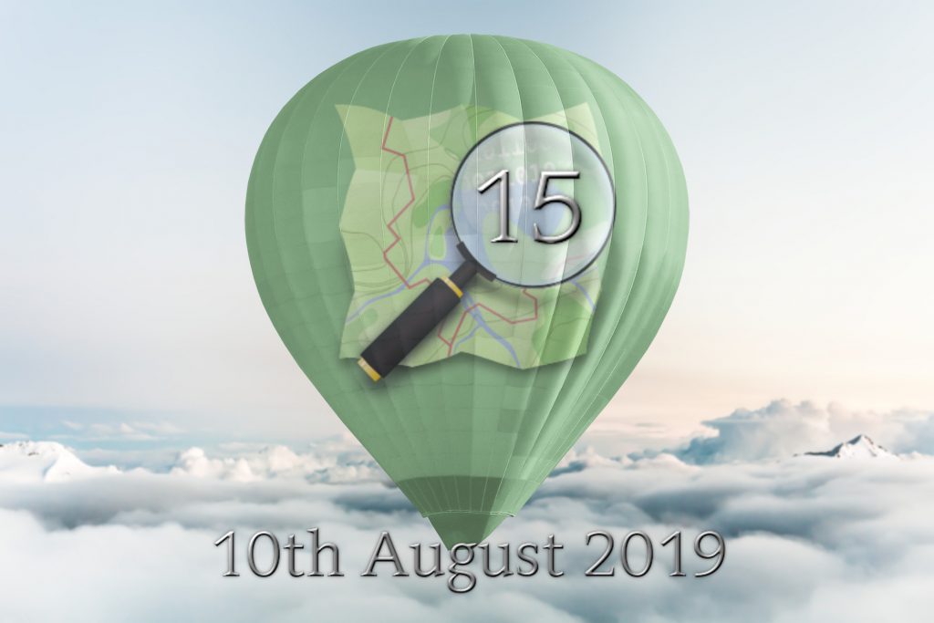
The 15th OpenStreetMap anniversary will be celebrated on 10th of August, 2019! 1 | © OSM logo by Ken Vermette
Mapping
- Facebook announced that they are making their AI tool available for OSM mappers through their RapiD editor. According to the press, Facebook wants to improve the map data in OSM on which the company relies. Facebook’s AI mapping activities are not undisputed and were a constant source of complaints in the past.
- Joseph Eisenberg took a step towards improving the proposal process. He created a wiki page on which he documented, explained and categorised the 13 different approval states a proposal can have.
- The tag
waterway=tidal channel, which was suggested by Joseph Eisenberg, after a discussion that took place in September 2018, to map natural tidal waterways has been approved and the documentation has been copied from the proposal page to the OSM Wiki.
Community
- We would also like to say many thanks to our sysadmins, although we are a bit late for System Administrator Appreciation Day.
- Erwin asks
 (automatic translation) on talk-at if there are already mappers who have experience with the tool mapwith.ai from Facebook. Another user pointed (automatic translation) to OSM forum posts from the Thai community, which is not very enthusiastic about this AI-supported tool.
 - Russian OSM user Valeriy Trubin has published a post „A few thoughts about OSM attribution”, where he describes what he does when he notices that someone is using OSM data without attribution. He suggests not passing by indifferently but contacting developers and explaining everything. His request has already been accepted by the Nizhny Novgorod Сity Administration, travel portal Azur, etc. (automatic translation)
- Ilya Zverev in his blog SHTOSM tells us why interactive maps don’t need „plus” and „minus” buttons. (automatic translation)
 (automatic
  „A few thoughts about OSM attribution”, where he describes what he does when he notices that someone is using OSM data without attribution. He suggests not passing by indifferently but contacting developers and explaining everything. His request has already been accepted by the Nizhny Novgorod Сity
 OpenStreetMap Foundation
- The minutes of the OSMF board meeting held on 17 July 2019 have been released.
Events
- It is now high time to schedule and advertise your event to celebrate OSM’s 15th birthday, which will be 10 August 2019.
- Registration has opened for the HOT Summit 2019, which will take place ahead of the State of the Map conference in Heidelberg, Germany on 19 and 20 September.
- The website GIM International published a review of the recent International Cartographic Conference 2019 in Tokyo, Japan, which had the motto „Mapping Everything for Everyone”. Steve Coast, founder of OSM, now vice president of TomTom, spoke about „The Past, Present, and Future of OpenStreetMap”.
Humanitarian OSM
- HOT announced the winners of its #map2020 challenge, a project to accelerate map data collection in sparsely mapped regions by providing street-level imagery.
- Government agencies of the Philippines are collaborating with the Pacific Disaster Center at the University of Hawaii to cope with threats from typhoons, volcanoes, earthquakes, tsunamis, floods, landslides, and emergent risks from climate change.
Maps
- A happy cyclist thanks the OSM community on Reddit for providing the data needed to make their family cycling holiday easier.
- AllTrails, an online trail guide, has acquired GPSies and merged the services.
- Rádio Renascença, one of the most popular radio stations in Portugal, launched a page (translation) with maps of the various stages of the Volta a Portugal by bicycle, based on the OSM and with due attribution.

switch2OSM
- The iOS and Android messenger Threema, which has gained popularity for its privacy and encryption features, has reached version 4. The new version includes a new GUI, shows locations on the company’s own OSM-based map and allows users to archive chats.
Releases
- Martijn van Exel wrote a blog post about the new version of MapRoulette. Version 3.3.3 introduces virtual projects to organise challenges that belong together, improves the integration of Mapillary and adds the ability to tag a task with a MapRoulette-specific tag.
- Quincy Morgan announced the release of a new version of the OSM editor iD. Version v2.15.4 does not reuse the previous changeset comment by default anymore, indicates the direction of weirs and includes many other bugfixes, validation improvements, new localisations and additional presets.
Did you know …
- According to an article by the BBC, the world’s steepest road is in Wales, UK. The incline value was added to OSM 9 years ago.
- …that the Russian company Urbica created an app „Walkstreets”. It allows you to find the most comfortable and pleasant pedestrian routes throughout Moscow rather than the shortest ones. It’s available for Android and iOS.
- …that the Russian company NextGIS created a map of „Do not territories” showing the places in Russia where it’s prohibited to organise mass demonstrations.
Other “geo” things
- Dr Marco Minghini, from the European Commission-Joint Research Centre, invites community members, on the OSM-Science mailing list, to submit their own research articles for MDPI’s planned special issue Advances in Applications of Volunteered Geographic Information.
- The US space agency NASA has developed a special receiver that would allow positioning on the moon with the help of the existing GPS satellites. We might need to start the proposal process for mapping craters.
- The developers of 2GIS (a well-known Russian navigator) shared (translation) how they collect road signs for their service (spoiler: automatically).
Upcoming Events
| Where | What | When | Country |
|---|---|---|---|
| Dumaguete | Pista ng Mapa 2019 | 2019-08-01-2019-08-03 |  |
| Kitakata | 喜多方マッピングパーティー&OSM 15th 誕生会 | 2019-08-03 |  |
| Kyoto | OpenStreetMap誕生日 前祝い会! | 2019-08-04 | |
| London | Missing Maps Mapathon | 2019-08-06 |  |
| Stuttgart | Stuttgarter Stammtisch | 2019-08-07 |  |
| San José | Code for San José Summer Mixer [1] | 2019-08-08 |  |
| Cottbus | 134. Brandenburg-Berlin Stammtisch | 2019-08-09 | |
| Salt Lake City | 15th Birthday Salt Lake City Mapping Party | 2019-08-10 | |
| Taipei | OSM x Wikidata #7 | 2019-08-12 |  |
| Bordeaux | Réunion mensuelle | 2019-08-12 |  |
| Salt Lake City | OSM Utah 15th Birthday Drinks | 2019-08-13 | |
| Zurich | OSM Stammtisch Zurich | 2019-08-13 |  |
| Hamburg | Hamburger Mappertreffen | 2019-08-13 | |
| Munich | Münchner Stammtisch | 2019-08-14 | |
| Wuppertal | OSM-Treffen Wuppertaler Stammtisch im Hutmacher 18 Uhr | 2019-08-14 | |
| Osaka | みんなで東淀川区の魅力を発信しよう! | 2019-08-18 | |
| Cologne Bonn Airport | Bonner Stammtisch | 2019-08-20 | |
| Lüneburg | Lüneburger Mappertreffen | 2019-08-20 | |
| Lübeck | Lübecker Mappertreffen | 2019-08-22 | |
| Kameoka | 京都!街歩き!マッピングパーティ:第11回 出雲大神宮 | 2019-08-24 | |
| Minneapolis | State of the Map U.S. 2019 [3] | 2019-09-06-2019-09-08 | |
| Edinburgh | FOSS4GUK 2019 | 2019-09-18-2019-09-21 | |
| Heidelberg | Erasmus+ EuYoutH OSM Meeting | 2019-09-18-2019-09-23 | |
| Heidelberg | HOT Summit 2019 | 2019-09-19-2019-09-20 | |
| Heidelberg | State of the Map 2019 [4] | 2019-09-21-2019-09-23 | |
| Dhaka | State of the Map Asia 2019 | 2019-11-01-2019-11-02 |  |
| Wellington | FOSS4G SotM Oceania 2019 | 2019-11-12-2019-11-15 |  |
| Grand-Bassam | State of the Map Africa 2019 | 2019-11-22-2019-11-24 |  |
Note: If you like to see your event here, please put it into the calendar. Only data which is there, will appear in weeklyOSM. Please check your event in our public calendar preview and correct it, where appropriate.
This weeklyOSM was produced by Nakaner, Polyglot, Rogehm, SK53, Silka123, SunCobalt, TheSwavu, YoViajo, derFred, geologist, jinalfoflia.