02/08/2022-08/08/2022
OSM Carto stylesheet v5.6.0 with parcel_locker among others [1] | OpenStreetMap contributors
Mapping
- Anne-Karoline Distel shared, in a diary entry, her efforts on nano-mapping the roofs of thatched buildings. Furthermore Anne-Karoline’s new video about creating (
 voice / subtitles) a thatch map on uMap is now available, which completes the videos we reported last week.
 - coolmule0 described how Microsoft’s recently released ‘Worldwide building footprints derived from satellite imagery’ can be filtered and used in JOSM.
- The proposal on
cycleway=expressway, to map a cycleway with high design speed, limited access, no or very few at-grade crossings, and right of way, is waiting for your comments. - Mateusz Konieczny published the results of StreetComplete user experience tests.
- Troy Hartwig blogged about the variety of difficulty rating systems and published an attempt to harmonise difficulty scales for trails (hiking and MTB).
 voice /
  subtitles) a thatch map on uMap is now available, which completes the videos we
 Community
- Last Sunday, 7 August, we celebrated 18 years of OpenStreetMap! The OSMF invites you to share your birthday event, your birthday cake, or anything else related to the 18 years of OSM.
- The OSM Africa community organised an online monthly mapathon in honour of OSM’s 18th birthday, mapping Rwanda.
- The virtual meeting of the Latin American OSM community, organised ► by the OSM community in Argentina, took place on 30 July. The next meeting will take place in September and will possibly be organised by the OSM community in Panama.
- OpenStreetMap Belgium presented their August Mapper of the Month, Domenico Calvagna from Italy.
 ►
► 
Maps
- Neil Southall showed his animation of lidar data that he combined with OSM to create a colour 3D representation of Copenhagen, Denmark.
- Topi Tjukanov has created ‘Notable people’, a map based on data from both OpenStreetMap and based on research by a team led by Morgane Laouenan. The map aims to show the most notable people from anywhere on Earth.
Software
- Jean Marco Rojas Umana, a computer engineering student at the Technological Institute of Costa Rica (Public University), is working on proposing and developing an improvement to the OSMTracker. Now he needs your help by answering seven questions (most of them YES or NO) to validate the necessity to implement functionality to upload tracked traces to a shared folder.
- Mikael Codes showed in a video, how you can make use of Prettymapp, by Christoph Rieke, to make amazing maps. Prettymapp is software based on prettymaps (we reported earlier), which has fewer configuration options, thus is much faster and has a web interface.
- The new 2022.07.27 update of Organic Maps was released for iOS and Android. Shop types were added, API support is improved for Android, and it is now possible to remove cuisines in the editor. As usual, maps and translations have been updated, and several routing fixes are in place.
- Eugene and Tatiana, from OsmAnd, explained in detail how to use and manage the route layer in OsmAnd.
Programming
- GitHub user Discostu36 is currently gathering feedback for a ‘photo uploader for Wikimedia Commons’ which directly links newly surveyed images to an OSM POI after uploading it to Wikimedia Commons. The project aims to ease the contribution of new images to already existing OSM objects. It is currently still in a pre-development stage, but you can find it on GitHub and provide feedback or track progress.
Releases
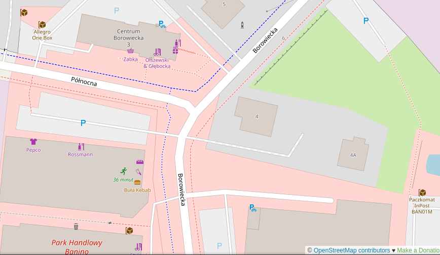
- [1] Paul Norman informed us that v5.6.0 of the OpenStreetMap Carto stylesheet (the default stylesheet on the OSM website) has been released. A GitHub issue offers arguments as to why large water polygons labels are rendered at high zoom levels only.
- Sarah Hoffmann (lonvia) proudly announced the release of Nominatim 4.1.0. Also check out the new Nominatim Cookbook.
Did you know …
- … John Wiseman (@lemonodor) has a map showing likely GPS interference, based on aircraft reports of their navigation system accuracy? For details have a look at the FAQ.
- … chronotrains-eu can show how far you can travel by train in five hours? Benjamin Td was inspired by the direkt.bahn.guru map.
- … the OSM Node Density map? You can either view the density for a specific year between 2014 and 2022 or display the difference between two consecutive years.
- … wheelmap, the OSM-based map by Sozialhelden e. V.? Apps to join in are available for Android and iOS.
Other “geo” things
- The GIScience Research Group, at Heidelberg University, is inviting applications for postdoctoral positions within the Heidelberg Mannheim Health and Life Science Alliance ‘Innovation Campus’ working on a inter-institutional project. The postdoctoral research at Heidelberg University will generate new geographical and environmental information through the combination and fusion of various geodata sources using state of the art machine learning methods.
- Our market companion has got ► some new bicycle functions.
- City Monitor discussed ‘how Google Maps is ruining your neighbourhood’ by encouraging rat running.
Upcoming Events
| Where | What | Online | When | Country |
|---|---|---|---|---|
| Berlin | 170. Berlin-Brandenburg OpenStreetMap Stammtisch | 2022-08-12 |  | |
| Manila | #OSM18 meet-up in Manila | 2022-08-13 |  | |
| Perth | Social mapping Sunday: Claisebrook to Optus Statium | 2022-08-14 |  | |
| Windsor | StreetComplete Group Quest | 2022-08-16 |  | |
| OSMF Engineering Working Group meeting | 2022-08-15 | |||
| 臺北市 | OpenStreetMap x Wikidata Taipei #43 | 2022-08-15 |  | |
| San Jose | South Bay Map Night | ✓ | 2022-08-17 |  |
| 154. Treffen des OSM-Stammtisches Bonn | 2022-08-16 | |||
| Lüneburg | Lüneburger Mappertreffen (online) | 2022-08-16 | | |
| Firenze | State of the Map 2022 | 2022-08-19 – 2022-08-21 |  | |
| Lancaster | OSMUK AGM | ✓ | 2022-08-20 |  |
| Firenze | FOSS4G 2022 | 2022-08-22 – 2022-08-28 | | |
| Bremen | Bremer Mappertreffen (Online) | 2022-08-22 | | |
| City of Nottingham | OSM East Midlands/Nottingham meetup (online) | ✓ | 2022-08-23 | |
| City of Nottingham | OSM East Midlands/Nottingham meetup (online) | ✓ | 2022-08-23 | |
| IJmuiden | OSM Nederland bijeenkomst (online) | ✓ | 2022-08-24 |  |
| [Online] OpenStreetMap Foundation board of Directors – public videomeeting | 2022-08-25 | |||
| San Jose | South Bay Map Night | ✓ | 2022-08-31 | |
| Düsseldorf | Düsseldorfer OpenStreetMap-Treffen | ✓ | 2022-08-31 | |
Note:
If you like to see your event here, please put it into the OSM calendar. Only data which is there, will appear in weeklyOSM.
This weeklyOSM was produced by Nordpfeil, PierZen, SK53, Strubbl, TheSwavu, derFred.