30/05/2023-05/06/2023
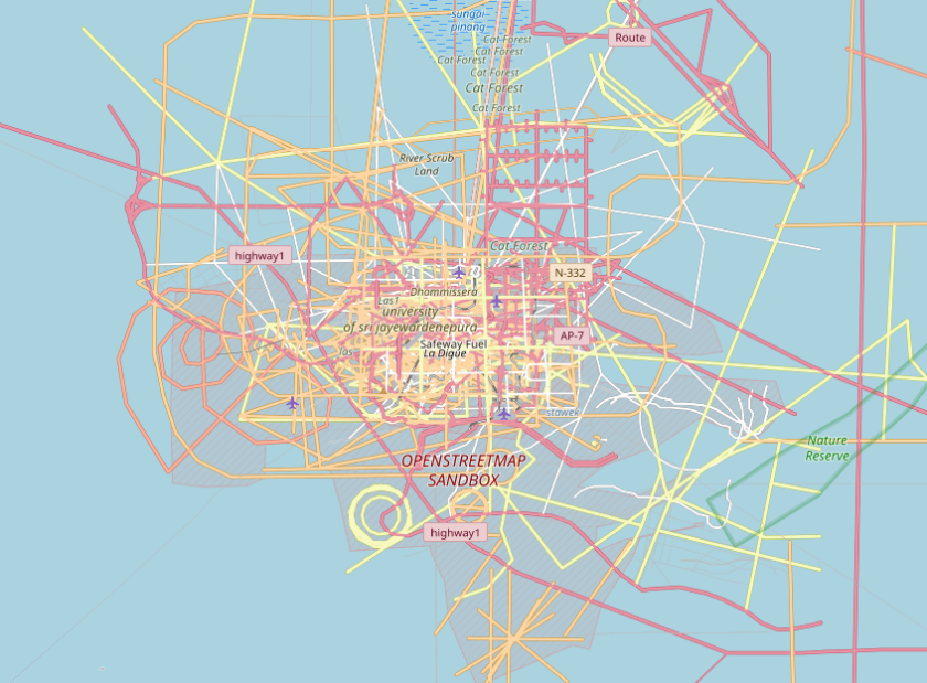
“OpenStreetMap Sandbox” in the NULL Island area. © Moritz Schott, et al (2022) ‘Deleted OSM Elements‘ University of Heidelberg [1] | map data © OpenStreetMap contributors
Mapping
- Anne-Karoline Distel suggested we take a look at our cities to discover and map the urine deflectors built in the 19th century (in Europe) to prevent public urination. She has also created a wikipage and explained the background information on this topic.
- One of the unexpected risks of mapping from aerial imagery alone is that the town may have moved since the imagery was taken.
- Jan Olieslagers promoted mapping runways as area, contrary to common practice. Make sure to also read the comments to get the full picture.
- The HOT Open Mapping Hub Asia Pacific has started two mapping/validation projects. Their objective is to map the location of ponds and assist Hasiru Aqua, an aquaculture startup, in supporting farmers in India.
- During the COVID-19 pandemic lockdowns, Nick Johnston spent lots of time collecting addresses in Cheltenham, south-west England, and added them to the map. In his blog, he published the lessons learned while doing this and encourages readers to go out and map as well.
- nocom888 was motivated by u/sporesofdoubt‘s work (we reported earlier) to micro-map parks and other places that would benefit from more details in OpenStreetMap.
Mapping campaigns
- The Trufi Association reported on the visit of Taylor Reich, an Institute for Transportation and Development Policy researcher, to the ‘Duitama Mapping Stars’, an OpenStreetMap mapping club for teenagers in Colombia.
Community
- Ilya Zverik was chosen as OpenStreetMap Belgium’s Mapper of the Month.
- Marcus Jaschen shared
 his approach in planning a bike or hiking route along a specific path, for example a river, with the help of OpenStreetMap.
 - Doc Searls and Katherine Druckman talked with Roman Tsisyk, founder and top maintainer of Organic Maps.
 his approach in planning a bike or hiking route along a specific path, for example a river, with the help of OpenStreetMap.
OpenStreetMap Foundation
- Courtney Williamson explained OpenStreetMap’s fundraising strategy.
Local chapter news
- Oliver Rudzick reported ► that the plant mapping project on OpenStreetMap has been selected as a top ten finalist of the Auf die Plätze! Citizen Science in Deiner Stadt programme. The collected plant location data will be used to study the influence of local vegetation distribution on microclimate conditions in the area.

OSM research
- Yair Grinberger, co-chair of the OSMScience 2023 conference, announced that abstract submission for the conference has opened. This sixth edition of the conference will be part of the State of the Map Europe 2023, taking place from 10 to 12 November in Antwerp (Belgium) and online.
Maps
- [1] In a blog post about deleted OSM elements, HeiGIT published a short interview with the developer of deleted_maps, Moritz Schott. The project is hosted on GitLab.
switch2OSM
- Lyft, a ride-hailing company in the United States, explained how it migrated from Google Maps to OpenStreetMap.
- Sébastien Hinderer, a blind person, tested ‘SonarVision’, a navigation app for people with disabilities.
 ‘SonarVision’, a navigation app for people with disabilities.
Open Data
- Jennings Anderson (Meta) and Mike Jeffe (AWS) released a tutorial on analysing OpenStreetMap data using the Amazon Athena platform.
Software
- Roland Olbricht, Overpass API developer, reviewed the Overpass installation guides written by Brian Sperlongano (ZeLonewolf) and Kai Johnson and provided additional helpful tips.
- Organic Maps is looking for ambassadors, active people with initiative, who will be the face and voice of Organic Maps in their region and their language.
- OsmAnd 4.4.5 has been released for iOS. The update contains a new track recording widget, a navigation profile for train travel, and search updates.
- OsmAnd is now 13 years old and they shared some screenshots from the first version.
Programming
- cyton showed ► how he extracts Mapillary images from Gopro Max 360° videos.
- Andrew Heiss explained how to create fancy road trip maps using R and OpenStreetMap data.
- rtnf analysed OSM’s tile logs for domain names and apps to see who is using OSM and shared his code on GitHub.
- zabop showed us his workflow to find the unmapped bicycle stations in Oslo by comparing OpenStreetMap data to the station list from Oslo Bysykkel (Oslo City Bike).
Releases
- Pascal Neis released an analysis of reverted edits in OpenStreetMap data.
Did you know …
- … OpenCage’s GeoTrivia May 2023 offers a captivating recap of the latest geographical trivia questions and answers from May? It provides an engaging opportunity for readers to test their geographic knowledge and discover fascinating facts about the world. It’s an entertaining and educational read for geography enthusiasts and curious minds alike.
Other “geo” things
- The Mapping Diversity project has analysed the street names of 30 European cities and found, among other statistics, that there are ten times more streets named after men than after women.
Upcoming Events
| Where | What | Online | When | Country |
|---|---|---|---|---|
| Richmond | State of the Map United States 2023 | 2023-06-08 – 2023-06-11 |  | |
| Rīga | State of the Map Baltics 2023 | 2023-06-08 – 2023-06-09 |  | |
| Windsor | MapRoulette-A-Thon | 2023-06-09 |  | |
| Marseille | State of the Map France 2023 | 2023-06-09 – 2023-06-11 |  | |
| Berlin | 180. Berlin-Brandenburg OpenStreetMap Stammtisch – 15 Jahre – mit der Wikipedia-Community | 2023-06-09 |  | |
| Zürich | OSM-Stammtisch | 2023-06-10 |  | |
| Hannover | OSM-Stammtisch Hannover | 2023-06-10 | | |
| København | OSMmapperCPH | 2023-06-11 |  | |
| MapRoulette Nights | 2023-06-11 | |||
| Bari | FOSS4G-it 2023 | 2023-06-12 – 2023-06-17 |  | |
| no location | Announcement of SotM Asia 2023 winning bid + recruitment of support from global community | 2023-06-12 | ||
| Grenoble | Atelier du groupe local OSM Grenoble | 2023-06-12 | | |
| OSMF Engineering Working Group meeting | 2023-06-14 | |||
| Salt Lake City | OSM Utah Monthly Map Night | 2023-06-15 | | |
| Stainach-Pürgg | Neunter Österreichischer OSM-Stammtisch (online) | ✓ | 2023-06-14 |  |
| Eti Osa | Open Source for Good with Open Street Maps | 2023-06-15 – 2023-06-17 | ng | |
| UN Mappers – OSM and humanitarian mapping training – session #7 | 2023-06-15 | |||
| Köln | Missing Maps Mapathon meets Medex | 2023-06-15 | | |
| Kaiserslautern | OSM Mapping Event Erfassung von Barrieren | 2023-06-17 | | |
| City Of Cockburn | Social Mapping Saturday: Port Coogee | 2023-06-17 |  | |
| Waterford City Metropolitan District | Using OpenStreetMap to record place names | 2023-06-17 |  | |
| Toulouse | Réunion du groupe local de Toulouse | 2023-06-17 | | |
| MapRoulette Nights | 2023-06-18 | |||
| 삼성2동 | 국경없는의사회 한국지부 Missing Maps 온라인 매파톤 | ✓ | 2023-06-20 |  |
| Gent | OpenStreetMap meetup in Gent | 2023-06-20 |  | |
| Lyon | Réunion du groupe local de Lyon | 2023-06-20 | | |
| 164. Treffen des OSM-Stammtisches Bonn | 2023-06-20 | |||
| San Jose | South Bay Map Night | ✓ | 2023-06-21 | |
| Lüneburg | Lüneburger Mappertreffen (online) | 2023-06-20 | | |
| Karlsruhe | Stammtisch Karlsruhe | 2023-06-21 | | |
| Mainz | OpenStreetMap-Stammtisch Mainz | 2023-06-21 | | |
| UN Mappers – OSM and humanitarian mapping training – session #8 | 2023-06-22 | |||
| Hlavní město Praha | Missing Maps MSF CZ Mapathon at Logio | 2023-06-22 |  | |
| Localidad Teusaquillo | Junta Bimensual OSM LATAM – Junio | June | 2023-06-24 |
Note:
If you like to see your event here, please put it into the OSM calendar. Only data which is there, will appear in weeklyOSM.
This weeklyOSM was produced by MatthiasMatthias, PierZen, SeverinGeo, Strubbl, TheSwavu, barefootstache, cafeconleche.
We welcome link suggestions for the next issue via this form and look forward to your contributions.