25/10/2022-31/10/2022
Mapping campaigns
- OSM Cameroon shared their experience of a land cover mapping campaign on the Missing Maps blog.
Mapping
- dcapillae has created two infographics that describe
 ► how to map street parking spaces reserved for people with reduced mobility and spaces reserved for recharging electric vehicles.
 - Hans Thompson reported on a dispute over new names for two mountains in Chugach State Park in Alaska.
- Jake Coppinger has mapped the controversial electronic billboards in Sydney and created a live map that uses the Overpass API to extract the data.
- The following proposals are waiting for your comments:
- Start moving proposal announcements to the OSM Community forum.
- Substitute
passenger_information_display=*withdepartures_board=*.
- Rashid86 enhanced ► the OSM mapping of Ural River basin in the Zelenovsky district, West Kazakhstan, by adding relationships to existing streams.
- Grant Slater described an idea to create a map style that would highlight weaknesses in the OSM database, e.g. ‘change all
highway=motorway/trunk/primary/secondary/tertiarywithout asurface=*tag to all display as a single simple road line type’.
 ►
►
 ►
►Community
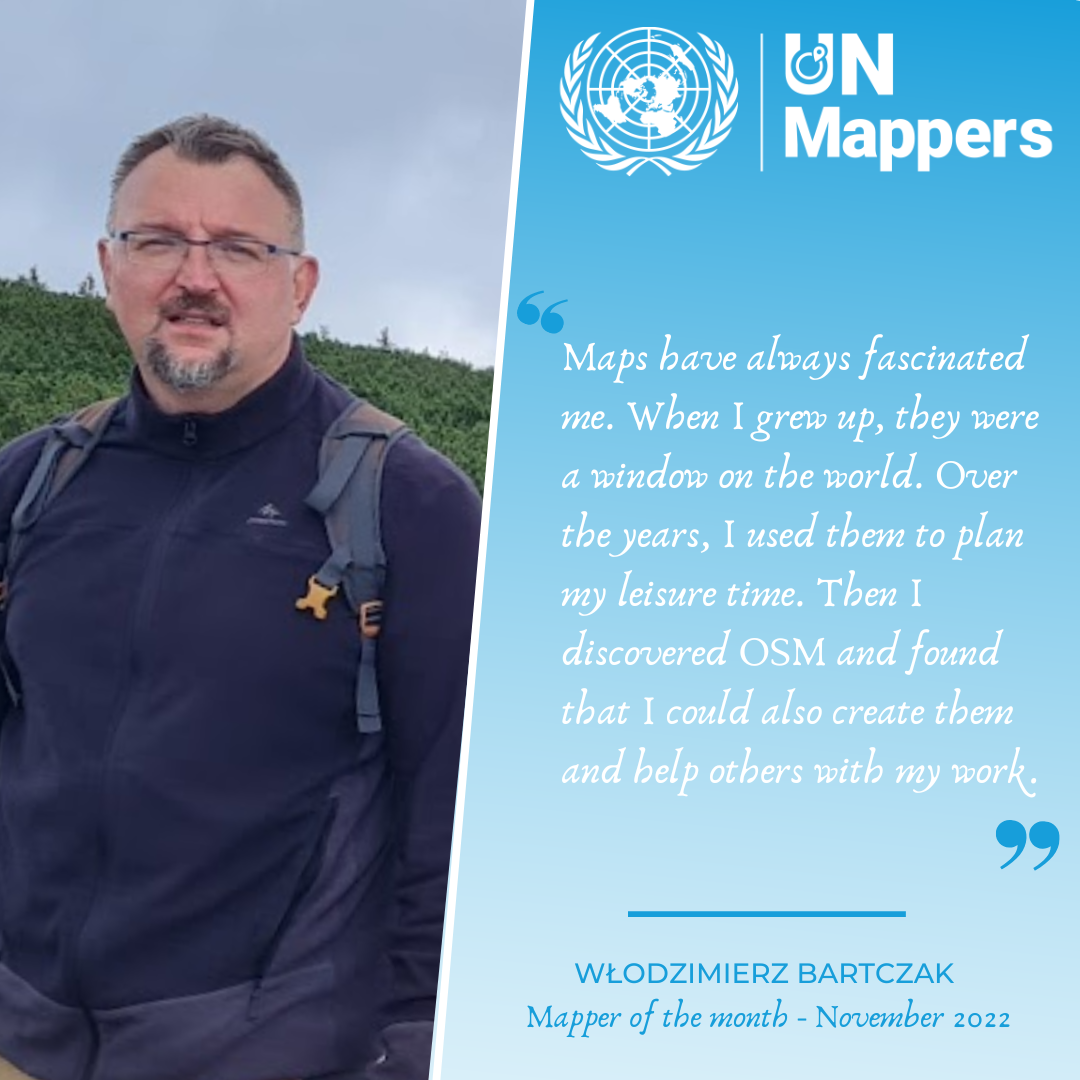
- [1] Włodzimierz Bartczak (OSM user Cristoffs), vice president of OSM Poland, is the UN Mapper of the Month for November.
- Censorship of a post and closing of a discussion about HOT on the OpenStreetMap Community was made without prior warning by a moderator who is a HOT employee and part of the Forums governance team.The post What happens if let others keep sponsoring against OpenStreetMap? discusses the 2017 HOT Google Ads that assured better positioning in Google searches. The moderator said that he saw a violation of the OSM Etiquette Guidelines.
A participant underlined the moderator’s apparent conflict of interest. To prevent this happening again, there is an urgent need to clarify how moderators should behave in the event of a conflict of interest.
- The censoring of a post on the OpenStreetMap Community website has triggered discussion about how conflicts of interest should be handled, which brought community leaders into the discussion. One participant suggested that hiding or closing a post can be counterproductive and often a polite rebuttal will work. A second said that there was no obvious violation of the OSM Etiquette Guidelines.The HOT-affiliated moderator recognised that his handling of the previous topic was not ideal and reported that there are not enough moderators helping to review all the flags. Other reported that they are there more for technical support and didn’t sign up to be moderators. One says to hurry up with finding some good mods for the global categories whom the community can trust.
- Anne-Karoline Distel shared more archaeological discoveries in her diary and provided a short video about them.
- One of the Chinese community’s active contributors reported ► that OpenStreetMap was blocked in China by the GFW, including the API and tiles.
- Have a look at this video (voice: and , subtitles: ) about the volunteers who assisted at SotM in Florence.
- Juan Arellano (CWG translator) interviewed Andrés Gómez (OSM Colombia) about note-a-thons, group activities solving OSM map notes.
 ►
► and
and  , subtitles:
 OpenStreetMap Foundation
- Rob Nickerson commented on why the decision to not hold a State of the Map in 2023 was wrong in his perspective.
Events
- The FOSSGIS Conference 2023 will take place in Berlin from 15 to 18 March 2023. The Call for Participation has been made ►.
 ►
►OSM research
- Pietro Folco’s team published a study on data-driven micromobility (for example, bicycles or e-scooters) network planning. By tweaking the demand and crashes trade-off, this could provide urban planners with multiple short-term scenarios. A demo is available with three Italian cities.
Maps
- Tankaru has created a web page where you can easily switch between numerous map providers. Browser extensions are available, but can be difficult to use when listing too many services.
- Tracestrack has updated its Carto maps with open landcover data from the ESA WorldCover 2021 project. This results in more vivid and realistic low zoom maps.
Software
- Ilya Zverev has released version 3.0 of Every Door. Among other improvements he has improved handling and zoom.
Programming
- Sarah Heidekorn from HeiGIT reports that the OSHDB and ohsome API are now updated hourly. The OSHDB allows users to investigate the evolution of the amount of data and contributions to OSM, while the ohsome API is a generic web API for in-depth analysis of OpenStreetMap (OSM) data with a focus on its history.
- Sarah Heidekorn, from HeiGIT, presented the latest chapter in the ohsome region of the month series. This time, they’re looking at the temporal development of highways and how to add smoothness information, as well as social facilities and updates on map development for Kyiv.
Releases
- StreetComplete has released a huge update with v48.0. The major changes are an ‘Addresses Overlay’ to efficiently map addresses on-site and a ‘Shops Overlay’ to map and check what shops exist in local shopping areas. A lot of of performance improvements, bug fixes and new quests were also added.
Did you know …
- … that the official network map of Deutsche Bahn’s long distance train services was (once again) created using Microsoft PowerPoint?
- … Klas Karlsson’s was surprised by better than anticipated results using a GoPro on a stick and @OpenDroneMap?
OSM in the media
- Ki-Joune Li, a professor in the Department of Computer Science and Engineering at Pusan National University, South Korea, pointed ► to OSM as an important success in the fight against data hegemony.
- In the Rhön ► and Bavarian ► Forests there are ‘digital guardians’, who want to identify illegal routes online that lead through sensitive protected areas and have illegal tour tips deleted. They also help to correctly map the boundaries of protected areas and trail permissions in OSM.
 ►
►Other “geo” things
- Marie Patino wrote in MapLab, a Bloomberg newsletter, about how Russia’s full-scale invasion of Ukraine is being monitored by the watchful eyes of commercial satellites like no other conflict before.
- Miettinen Jesse / Blenderesse revealed the first results from a city generator that impressively creates random 3D city models.
- A French mountain biker spent ten hours literally hanging ► on for dear life from a cliff near the Cascade de l’Oule after going on a ride following Google Maps, which is a general service that is not adapted to mountain bike trails and shouldn’t be followed blindly.
- The Heidelberg Institute for Geoinformation Technology is looking for a software engineer to work in the OSM routing services field. Depending on the applicant’s experience, they will perform tasks within the field of route planning and smart mobility.
- The Heidelberg Institute for Geoinformation Technology is looking for a student assistant for communication tasks. The applicant will support the Openrouteservice team in communication with their users.
- Dave Smith has discovered a lake in Finland… that looks like Finland. Its origin and status has been revealed, as a quick search on OpenStreetMap would have done.
- The New York Department of Transportation released a list of about a hundred car-free streets (‘Trick-or-Streets’) to celebrate Halloween night. A map is available which may depict a far from good view of pedestrian considerations in neighbourhoods such as Park Slope.
 ►
►Upcoming Events
| Where | What | Online | When | Country |
|---|---|---|---|---|
| Aberdeen City | Scottish Open Data Unconference | 2022-11-05 – 2022-11-06 |  | |
| City of Subiaco | Social Mapping Sunday: Rokeby Road | 2022-11-06 |  | |
| 臺北市 | OpenStreetMap x Wikidata 月聚會 #46 | 2022-11-07 |  | |
| OSMF Engineering Working Group meeting | 2022-11-07 | |||
| Lajoux | Sensibilisation OpenStreetMap | 2022-11-08 |  | |
| Lajoux | Sensibilisation OpenStreetMap (visioconférence) | 2022-11-08 | | |
| San Jose | South Bay Map Night | ✓ | 2022-11-09 |  |
| HOT Tasking Manager Monthly Meet Up | 2022-11-09 | |||
| West Valley City | OSM Utah Monthly Meetup | 2022-11-10 | | |
| Köln | OSM-Stammtisch Köln | 2022-11-09 |  | |
| Salt Lake City | OSM Utah Monthly Meetup | 2022-11-10 | | |
| München | Münchner OSM-Treffen | 2022-11-09 | | |
| IJmuiden | OSM Nederland bijeenkomst (online) | ✓ | 2022-11-09 |  |
| Berlin | 173. Berlin-Brandenburg OpenStreetMap Stammtisch | ✓ | 2022-11-10 | |
| Montrouge | Réunion des contributeurs de Montrouge et du Sud de Paris | 2022-11-10 | | |
| Washington | Mapping USA + WikiConferenceNA | ✓ | 2022-11-11 – 2022-11-12 | |
| City of New York | Mapping USA/Wiki Conference New York City | 2022-11-12 | | |
| OSM Local Chapters & Communities Virtual Congress | 2022-11-12 | |||
| 津山市 | オープンデータソンin津山 | 2022-11-13 |  | |
| København | OSMmapperCPH | 2022-11-13 |  | |
| 157. Treffen des OSM-Stammtisches Bonn | 2022-11-15 | |||
| City of Edinburgh | OSM Edinburgh Social | 2022-11-15 | | |
| Lüneburg | Lüneburger Mappertreffen (online) | 2022-11-15 | | |
| Roma | Incontro dei mappatori romani e laziali – novembre 2022 | 2022-11-16 |  | |
| Zürich | Missing Maps Zürich November Mapathon | 2022-11-16 |  | |
| Karlsruhe | Stammtisch Karlsruhe | 2022-11-16 | | |
| Ville de Bruxelles – Stad Brussel | FOSS4G & State of the Map Belgium | 2022-11-17 |  | |
| Daerah Khusus Ibukota Jakarta | OSMGeoWeek Indonesia 2022 | 2022-11-17 |  | |
| Letterkenny Municipal District | Online Map & Chat: Manor, Co Donegal, Ireland | 2022-11-17 |  | |
| Zürich | 10 Jahre SOSM mit Fondue-Abend | 2022-11-17 | | |
| Barcelona | Geomob Barcelona | 2022-11-22 |  | |
| San Jose | South Bay Map Night | ✓ | 2022-11-23 | |
| City of Nottingham | OSM East Midlands/Nottingham meetup (online) | ✓ | 2022-11-22 | |
| Gent | Meetup @ TomTom Gent | 2022-11-23 | | |
| [Online] OpenStreetMap Foundation board of Directors – public videomeeting | 2022-11-25 | |||
| 京都市 | 京都!街歩き!マッピングパーティ:第33回 佛光寺 | 2022-11-27 | |
Note:
If you like to see your event here, please put it into the OSM calendar. Only data which is there, will appear in weeklyOSM.
This weeklyOSM was produced by Elizabete, Lejun, Mannivu, MatthiasMatthias, Nordpfeil, PierZen, Strubbl, TheSwavu, YoViajo, andygol, derFred, 快乐的老鼠宝宝.
We welcome link suggestions for the next issue via this form and look forward to your contributions.
Hello,
This is Rubén, the forum moderator that is mentioned in this publication. I would like to link for context the explanation of the situation:
https://community.openstreetmap.org/t/what-happens-if-let-others-keep-sponsoring-against-openstreetmap/4343/15
As Tobias and I have clarified, this has nothing to do with “censoring” but applying moderation to follow the OSM Etiquette Guidelines and act on posts that are not looking for a healthy discussion. Moving forward we’ll find ways to get other people review other reported messages by the community involving HOT so I don’t have to deal with them.
Cheers.
Hola,
Soy Rubén, el moderador del foro que se menciona en esta publicación. Me gustaría enlazar para contextualizar la explicación de la situación:
https://community.openstreetmap.org/t/what-happens-if-let-others-keep-sponsoring-against-openstreetmap/4343/15
Como hemos aclarado Tobías y yo, esto no tiene nada que ver con “censurar” sino con aplicar la moderación para seguir las Directrices de Etiqueta de OSM y actuar sobre los mensajes que no buscan una discusión sana. En adelante encontraremos la manera de que otras personas revisen otros mensajes reportados por la comunidad que involucren a HOT para que yo no tenga que lidiar con ellos.
Saludos.