24/08/2021-30/08/2021
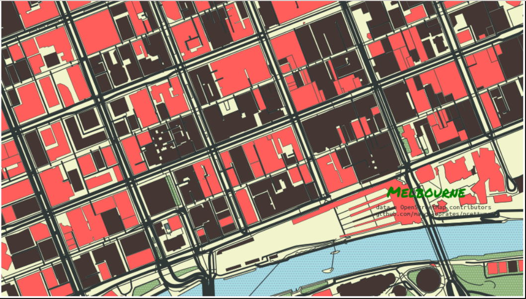
prettymaps [1] © Marcelo Prates | map data © OpenStreetMap contributors
Mapping
- The speed limit on most Parisian streets has been lowered to 30 km/h (18 mph). Christian Quest tweeted
 that this has resulted in a major update to OSM that should propagate through to route planners over the next few days.
 - Kontur tweeted a reminder that in the wake of Hurricane Henri, mappers could help by mapping densely populated yet poorly mapped areas (e.g., parts of Connecticut). See the Disaster Ninja app for more details.
- Jan (user: Lübeck) suggested > adding three additional
damage:*=*tags to areas destroyed in the heavy rainfall-induced flooding on 14 July in western Germany. - User messpert pondered the most appropriate tagging for historical surface mining sites.
- A request for comments has been made for
currency:crypto:*=yes,no, a proposal to extend thecurrencykey to support cryptocurrencies. - The proposal
man_made=video_wall, for mapping large digital screens, was approved with 9 votes for, 1 vote against and 2 abstentions.
 that this has resulted in a major update to OSM that should propagate through to route planners over the next few days.
 >
> 
Community
- User PlayzinhoAgro wrote about the lack of popularity of OpenStreetMap compared to other market solutions, based on a small survey > of the Brazilian market.
 >
> Imports
- Vladislav Kugelevich has added information to the OSM wiki about Latvia’s datasources that are potentially suitable for import into. He plans to import some of this data but is still studying the software and the import guidelines.
OpenStreetMap Foundation
- The LCCWG moderation subcommittee held two online public meetings on 2 and 3 September about revisions to the current Etiquette Guidelines, which are now open for public comment until Wednesday 8 September.
- This year’s annual general meeting of the OSMF will take place online on Saturday 11 December 2021 at 16:00 UTC. Voting for the board election will start one week before the annual general meeting and this year there will be at least four positions available. To be eligible to vote you must have been a member or associate member for 90 days prior to the date on which the meeting is held, that is, paid up by Saturday 11 September.
- The OWG is planning to host vector tiles generated by Tilemaker as an experiment. The goal is to get something others can work with to see where more work needs to be done.
Education
- User Lübeck was seeking IBIS-Budget Hotels for a trip. They asked > for assistance in writing an Overpass query to find all the variations in naming the hotels have in OSM.
OSM research
- Afraid of the number 13? DeBigCs looked at the shortfall of houses numbered 13 in Dublin. Andrew Davidson followed up with an analysis that showed a much greater fear of 13 in the USA.
- It looks like frzbrmnd2 has written to all/many mappers who have mapped in Iran. He is using the data for his dissertation where he is investigating the relationship between participants’ local knowledge and the quality of data collected.
Humanitarian OSM
- On 27 August, the Open Mapping Hub in Eastern and Southern Africa was launched. The Hub is dedicated to increasing the use of OpenStreetMap tools to power and influence local and regional interventions. Find more information by following them on Twitter or Facebook.
Software
- [1] Marcelo Prates has created software used to draw pretty maps from OpenStreetMap data. The software, Pretty Maps, is based on the OSMnx, Matplotlib and Shapely libraries.
- Pierre Béland published a Compare Map Before / After for the Nippes (Haiti) August earthquake, where post-disaster drone footage (2 cm) for five localities can be compared with the CNIGS Haitian Geospatial Agency orthophotos from 2014–2015 (20 cm). Other drone-collected images should be added as they become available. CNIGS official road network, OSM, altitude and relief layers are also available.
Did you know …
- … the three most important tags for describing
tracks?tracktypeis used for a rough classification,surfaceto specify the material, andsmoothnessto specify the condition. - … Cartography Playground? A simple and interactive website for explaining cartographic algorithms, problems and other matters. It is aimed at students of cartography who want to refresh and deepen their knowledge.
- … that the animal rights organisation, PETA, tried to have the name of Fishkill, a town in New York State, changed to Fishsave? -kill or -kil is a common place name element in the area deriving from a Dutch word meaning creek or stream.
OSM in the media
- Cezch Mappers have finished the mapping of post boxes in the Czech Republic. Miroslav Suchý gave an interview to Lupa.cz > about it and OpenStreetMap.
- Nat Foot reads out weeklyOSM 578.
 >
> Other “geo” things
- Got some spare reading time? Allan Mustard recommends The Address Book by Deirdre Mask. The book looks at the complex and sometimes hidden stories behind street names and their power to name, to hide, to decide who counts, who doesn’t – and why.
- Ian Dickson talked with Ben Hinze about ‘Ambient Maps’, a company mapping noise and air pollution in Australian and New Zealand major cities and regions. By combining a number of inputs and models they can produce predictions of air traffic noise, road traffic noise, rail noise, air quality and future road noise impacts.
- Alan McConchie tweeted a link to Kenneth Field’s new book Thematic Mapping: 101 Inspiring Ways to Visualise Empirical Data. Using 101 maps, graphs, charts, and plots of the 2016 United States presidential election data, the book explores the rich diversity of thematic mapping and the visual representation of data.
- As a test, Anthony Stephens likes to ask ‘anybody under 30 years old who lives in the city’ to name the suburb directly to the north of where they live. Anthony is the owner of ‘The Map Shop’ in Adelaide (Australia) and in an ABC article he discusses the future of paper maps in a world of satnav.
Upcoming Events
| Where | What | Online | When | Country |
|---|---|---|---|---|
| Fortaleza | Encontro de usuários OSM do Ceará, Brasil. | 2021-09-04 |  | |
| Bogotá Distrito Capital | Resolvamos notas de Colombia creadas en OpenStreetMap | 2021-09-04 |  | |
| 京田辺市 | 京都!街歩き!マッピングパーティ:第26回 一休寺 | 2021-09-04 | jp | |
| OSM Africa Monthly Mapathon: Map Malawi | 2021-09-04 – 2021-10-04 | |||
| Greater London | Missing Maps London Mapathon | 2021-09-07 |  | |
| DRK Missing Maps Mapathon – JOSM Einführung | 2021-09-07 | |||
| Landau an der Isar | Virtuelles Niederbayern-Treffen | ✓ | 2021-09-07 |  |
| Stuttgart | Stuttgarter Stammtisch (Online) | 2021-09-07 | | |
| OpenStreetMap Michigan Meetup | 2021-09-09 | |||
| Decatur County | OSM US Mappy Hour | 2021-09-09 |  | |
| Berlin | 159. Berlin-Brandenburg OpenStreetMap Stammtisch | 2021-09-09 | | |
| Nordrhein-Westfalen | OSM-Treffen Bochum (September) | 2021-09-09 | | |
| München | Münchner OSM-Treffen | 2021-09-09 | | |
| Bezirk St. Johann im Pongau | 2. Virtueller OpenStreetMap Stammtisch Österreich | 2021-09-09 |  | |
| Bogotá Distrito Capital | Agreguemos y editemos rutas de transporte en OpenStreetMap | 2021-09-11 | | |
| Arlon | Réunion des contributeurs OpenStreetMap, Arlon | 2021-09-13 |  | |
| 臺北市 | OpenStreetMap x Wikidata 月聚會 #32 | 2021-09-13 |  | |
| Hamburg | Hamburger Mappertreffen | ✓ | 2021-09-14 | |
| Karlsruhe | Karlsruhe Hack Weekend | 2021-09-17 – 2021-09-19 | | |
| Nantes | Journées européennes du patrimoine 2021, Nantes | 2021-09-18 |  | |
| Bonn | 143. Treffen des OSM-Stammtisches Bonn | 2021-09-21 | | |
| Berlin | OSM-Verkehrswende #27 (Online) | 2021-09-21 | | |
| Lüneburg | Lüneburger Mappertreffen (online) | 2021-09-21 | | |
| DRK Missing Maps Online Mapathon | 2021-09-23 | |||
| [Online] OpenStreetMap Foundation board of Directors – public meeting | 2021-09-24 | |||
| Düsseldorf | Düsseldorfer OSM-Treffen (online) | 2021-09-24 | | |
| Amsterdam | OSM Nederland maandelijkse bijeenkomst (online) | ✓ | 2021-09-25 |  |
Note:
If you like to see your event here, please put it into the OSM calendar. Only data which is there, will appear in weeklyOSM.
This weeklyOSM was produced by Lejun, Nordpfeil, SK53, Sammyhawkrad, TheSwavu, YoViajo, derFred.
Would be nice if the list of events included links to where to find out about them or to a location. I’d like to attend one and don’t know where to look for it!
Hi. I can see further details by clicking on the calendar-icon (red/white). Have you tried that?
Stupid of me, don’t know how I missed that. A mouseover() function might make it more obvious.
Hi marinheiro,
Normally, you should click on the calendar icon after each item which will take you to the relevant OSM Calendar item. This in turn should probably provide a more detailed link to event details: many local groups continue to use OSM wiki pages for the details. The amount of detail at each step will depend on the individual organiser of the event.
HTH
SK53